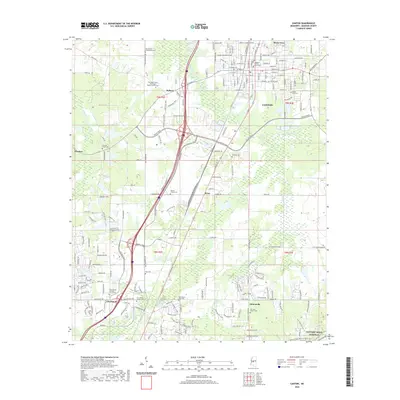
2020 Map of Canton
USGS Topo · Published 2020About this map
The Madison County Courthouse stands at the heart of Canton, anchoring a landscape where historic rural settlements meet modern infrastructure. This Mississippi interior reveals a dense network of local cemeteries that trace family lineages, including Saint Joseph Catholic Church Cem, Old Madison Presbyterian Cem, and the Priestley Chapel Missionary Baptist Church Cem. The map illustrates the growth of communities like Gluckstadt and Meltonville alongside established creek systems such as Bear Creek and Walnut Creek.
Find a feature on this map
186 named features on this map. Tap any name to fly to it.
Don’t see what you’re looking for? This feature index may not catch every label — zoom into the map to look around manually.
Map Details
Editions of this 2020 Canton Map
This is the sole edition of this map. No revisions or reprints were ever made.
Other maps of this area

1903 · Jackson
USGS Topo · 1:125,000

1905 · Jackson
USGS Topo · 1:48,000

1908 · Jackson
USGS Topo · 1:62,500

1922 · Pelahatchee
USGS Topo · 1:48,000

1924 · Pelahatchee
USGS Topo · 1:62,500

1950 · Pelahatchie
USGS Topo · 1:62,500

1952 · Pelahatchie
USGS Topo · 1:62,500

1953 · Meridian
USGS Topo · 1:250,000

1955 · Jackson
USGS Topo · 1:250,000

1957 · Meridian
USGS Topo · 1:250,000