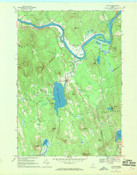
1967 Map of Canton
USGS Topo · Published 1969About this map
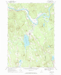
The Maine Central railroad corridor and the winding Androscoggin River dominate this 1967 survey of western Maine. Centered on the town of Canton, the landscape is defined by the prominent Lake Anasagunticook and a series of hills and ridges, including Trask Mountain and Thorne Mountain. The map records several smaller settlements that cluster along the river and rail lines, such as Gilbertville and Meadowview, alongside agricultural and resource sites like the numerous gravel pits and sandpits near the riverbanks.
Find a feature on this map
62 named features on this map. Tap any name to fly to it.
Don’t see what you’re looking for? This feature index may not catch every label — zoom into the map to look around manually.
Map Details
Editions of this 1967 Canton Map
2 editions found
Other maps of this area

1910 · Livermore
USGS Topo · 1:62,500

1911 · Buckfield
USGS Topo · 1:62,500

1912 · Livermore
USGS Topo · 1:62,500

1913 · Buckfield
USGS Topo · 1:62,500

1924 · Farmington
USGS Topo · 1:62,500

1926 · Dixfield
USGS Topo · 1:62,500

1929 · Dixfield
USGS Topo · 1:62,500

1941 · Livermore
USGS Topo · 1:62,500

1942 · Buckfield
USGS Topo · 1:62,500

1950 · Lewiston
USGS Topo · 1:250,000