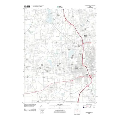
2010 Map of Canton West
USGS Topo · Published 2010About this map
Meyers Lake and Sippo Lake serve as central landmarks in this detailed view of western Stark County. The urban expansion of Canton is evident through dozens of named residential developments such as Hills and Dales, Avondale, and Ridgedale. This 2010 survey highlights the academic presence of Kent State University alongside critical community infrastructure like the Stark County Fairgrounds and the Canton Post Office.
Find a feature on this map
101 named features on this map. Tap any name to fly to it.
Don’t see what you’re looking for? This feature index may not catch every label — zoom into the map to look around manually.
Map Details
Editions of this 2010 Canton West Map
This is the sole edition of this map. No revisions or reprints were ever made.
Other maps of this area

1901 · Massillon
USGS Topo · 1:62,500

1901 · Canton
USGS Topo · 1:62,500

1903 · Massillon
USGS Topo · 1:62,500

1903 · Canton
USGS Topo · 1:62,500

1912 · Dover
USGS Topo · 1:62,500

1914 · Navarre
USGS Topo · 1:62,500

1944 · Navarre
USGS Topo · 1:62,500

1944 · Dover
USGS Topo · 1:62,500

1951 · Canton
USGS Topo · 1:250,000

1951 · Bolivar
USGS Topo · 1:24,000