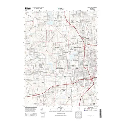
2013 Map of Canton West
USGS Topo · Published 2013About this map
Canton and its western suburbs appear here in a highly developed residential and academic landscape, punctuated by several large cemeteries and medical institutions. The map shows the suburban evolution of North Canton and neighborhoods like Perry Heights, where street grids give way to the more curvilinear patterns of mid-to-late 20th-century developments such as Orchard Acres and Indianola Estates. Higher education is a prominent theme, with the Kent State Univ Stark Campus and Stark State Coll of Technology occupying significant acreage in the north, while Malone Univ anchors the east near Fawcett Stadium.
Find a feature on this map
85 named features on this map. Tap any name to fly to it.
Don’t see what you’re looking for? This feature index may not catch every label — zoom into the map to look around manually.
Map Details
Editions of this 2013 Canton West Map
This is the sole edition of this map. No revisions or reprints were ever made.
Other maps of this area

1901 · Massillon
USGS Topo · 1:62,500

1901 · Canton
USGS Topo · 1:62,500

1903 · Massillon
USGS Topo · 1:62,500

1903 · Canton
USGS Topo · 1:62,500

1912 · Dover
USGS Topo · 1:62,500

1914 · Navarre
USGS Topo · 1:62,500

1944 · Navarre
USGS Topo · 1:62,500

1944 · Dover
USGS Topo · 1:62,500

1951 · Canton
USGS Topo · 1:250,000

1951 · Bolivar
USGS Topo · 1:24,000