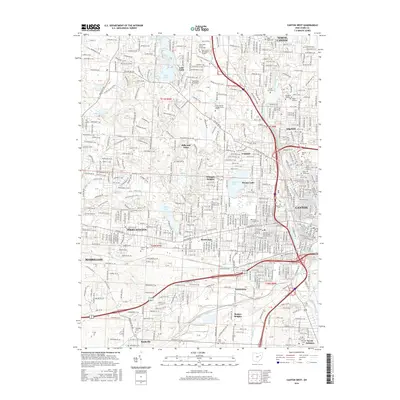
2016 Map of Canton West
USGS Topo · Published 2016About this map
The suburban and academic corridors between North Canton, Massillon, and Canton define this mid-2010s landscape. Educational institutions are prominent, including the Kent State University Stark Campus, Stark State College of Technology, and Malone University, signaling the region's role as a regional center for higher learning. The map reveals a high density of residential developments and incorporated villages such as Reedurban, Avondale, and Hills and Dales, interwoven with multiple water bodies like Sippo Lake and Lake Cable.
Find a feature on this map
50 named features on this map. Tap any name to fly to it.
Don’t see what you’re looking for? This feature index may not catch every label — zoom into the map to look around manually.
Map Details
Editions of this 2016 Canton West Map
This is the sole edition of this map. No revisions or reprints were ever made.
Other maps of this area

1901 · Massillon
USGS Topo · 1:62,500

1901 · Canton
USGS Topo · 1:62,500

1903 · Massillon
USGS Topo · 1:62,500

1903 · Canton
USGS Topo · 1:62,500

1912 · Dover
USGS Topo · 1:62,500

1914 · Navarre
USGS Topo · 1:62,500

1944 · Navarre
USGS Topo · 1:62,500

1944 · Dover
USGS Topo · 1:62,500

1951 · Canton
USGS Topo · 1:250,000

1951 · Bolivar
USGS Topo · 1:24,000