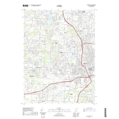
2019 Map of Canton West
USGS Topo · Published 2019About this map
The First Ladies National Historic Site and the Stark County Courthouse anchor the urban center of Canton, Ohio, illustrating the city's civic and historical significance. Residential expansion is visible through established neighborhoods like Hills and Dales, Edgefield, and Perry Heights, while suburban growth reaches toward North Canton. Education and public institutions are prominent, featuring the Kent State University-Stark Campus, Stark State College, and Malone University.
Find a feature on this map
64 named features on this map. Tap any name to fly to it.
Don’t see what you’re looking for? This feature index may not catch every label — zoom into the map to look around manually.
Map Details
Editions of this 2019 Canton West Map
This is the sole edition of this map. No revisions or reprints were ever made.
Other maps of this area

1901 · Massillon
USGS Topo · 1:62,500

1901 · Canton
USGS Topo · 1:62,500

1903 · Massillon
USGS Topo · 1:62,500

1903 · Canton
USGS Topo · 1:62,500

1912 · Dover
USGS Topo · 1:62,500

1914 · Navarre
USGS Topo · 1:62,500

1944 · Navarre
USGS Topo · 1:62,500

1944 · Dover
USGS Topo · 1:62,500

1951 · Canton
USGS Topo · 1:250,000

1951 · Bolivar
USGS Topo · 1:24,000