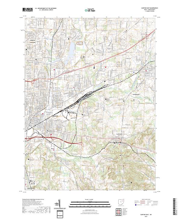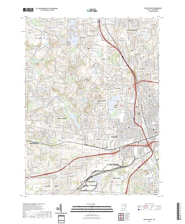
2023 Map of Canton West
USGS Topo · Published 2023About this map
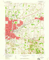
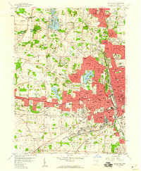
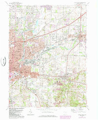
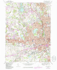
Canton and its western residential corridors are depicted in this recent survey, showcasing a dense network of suburban development and institutional landmarks. The landscape is punctuated by numerous significant cemeteries and memorial sites, including the McKinley Memorial Park and the large Sunset Hills Burial Park, which offer valuable data for genealogists. Educational hubs such as the Kent State University - Stark Campus and Malone University define the northern and central sectors, while the Stark County Courthouse stands as the civic anchor in the urban core. To the west, the residential character is defined by planned communities around Lake Cable and Meyers Lake, alongside established neighborhoods like Hills and Dales and Whipple Heights. South of the city, the industrial and transport history remains visible through place names like Gambrinus and Banker Heights along the Hurford Run corridor.
Find a feature on this map
59 named features on this map. Tap any name to fly to it.
Don’t see what you’re looking for? This feature index may not catch every label — zoom into the map to look around manually.
Map Details
Editions of this 2023 Canton West Map
This is the sole edition of this map. No revisions or reprints were ever made.
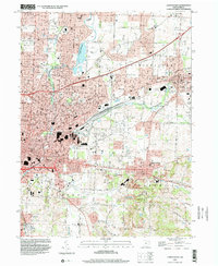
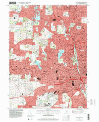
Historical Maps of Lakeside Heights Through Time
8 maps found