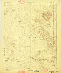
1892 Map of Canyon De Chelly
USGS Topo · Published 1901About this map
The dramatic geological features of the Colorado Plateau define this reconnaissance survey, dominated by the deep incisions of Canyon De Chelly and Canyon Del Muerto. Surveyed in 1883 and published at the turn of the century, the map documents the Navajo Indian Res. Line and the extensive Chinlee Valley. The landscape is a complex network of high mesas and isolated buttes, including Salahkai Mesa and the striking Sonsala Buttes.
Find a feature on this map
53 named features on this map. Tap any name to fly to it.
Don’t see what you’re looking for? This feature index may not catch every label — zoom into the map to look around manually.
Map Details
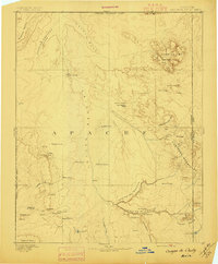
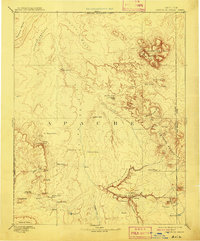
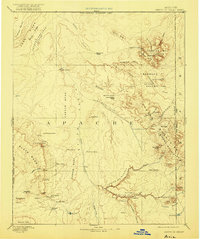
Editions of this 1892 Canyon De Chelly Map
5 editions found

Other maps of this area

1883 · Marsh Pass
USGS Topo · 1:250,000

1883 · Tusayan
USGS Topo · 1:250,000

1886 · Wingate
USGS Topo · 1:250,000

1886 · Tusayan
USGS Topo · 1:250,000

1886 · Fort Defiance
USGS Topo · 1:250,000

1886 · Henry Mountains
USGS Topo · 1:250,000

1886 · Abajo
USGS Topo · 1:250,000

1889 · Chaco
USGS Topo · 1:250,000

1892 · Fort Defiance
USGS Topo · 1:250,000

1892 · Marsh Pass
USGS Topo · 1:250,000