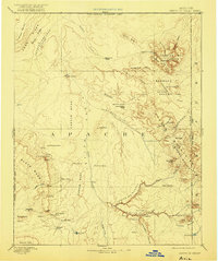
1892 Map of Canyon De Chelly
USGS Topo · Published 1921About this map
Canyon De Chelly and the adjacent Canyon Del Muerto define the southern landscape of this 1883 reconnaissance survey of northeastern Arizona. The map illustrates a vast network of mesas and mountain ranges, including the Lukachukai Mts and Tunitcha Mountains, prior to modern development. Water sources are meticulously documented for the era, noting scattered features like Hogansaani Spring, Satsiltso Springs, and Tatezaka Tank which were vital for navigation through the arid Chinle Valley.
Find a feature on this map
68 named features on this map. Tap any name to fly to it.
Don’t see what you’re looking for? This feature index may not catch every label — zoom into the map to look around manually.
Map Details
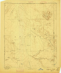
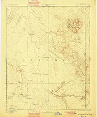
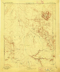
Editions of this 1892 Canyon De Chelly Map
5 editions found

Other maps of this area

1883 · Marsh Pass
USGS Topo · 1:250,000

1883 · Tusayan
USGS Topo · 1:250,000

1886 · Wingate
USGS Topo · 1:250,000

1886 · Tusayan
USGS Topo · 1:250,000

1886 · Fort Defiance
USGS Topo · 1:250,000

1886 · Henry Mountains
USGS Topo · 1:250,000

1886 · Abajo
USGS Topo · 1:250,000

1889 · Chaco
USGS Topo · 1:250,000

1892 · Fort Defiance
USGS Topo · 1:250,000

1892 · Marsh Pass
USGS Topo · 1:250,000