
1892 Map of Canyon De Chelly
USGS Topo · Published 1892About this map
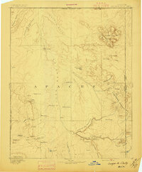
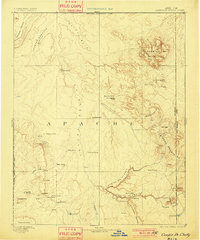
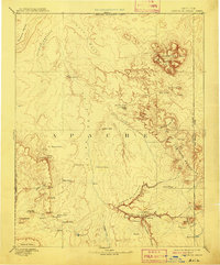
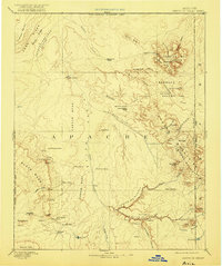
Canyon De Chelly and the adjacent Canyon Del Muerto dominate the southeastern landscape of this late nineteenth-century survey. Mapped in 1883 and published under Director J.W. Powell, the terrain shows a network of springs and tanks vital to life in the Chin Lee Valley, long before modern infrastructure reached this corner of Apache County. High-altitude landmarks like Pastora Peak in the Carriso Mts and Roof Butte in the Tunitcha Mountains provide essential orientation points across the high desert. The western edge is defined by the Navajo Indian Res. Line, while the eastern border tracks the Arizona New Mexico boundary. This era of mapping captured the natural water sources such as Saeltso Springs and Alamo Spring alongside striking geological formations like Los Gigantes Buttes and the Sonsala Buttes.
Find a feature on this map
50 named features on this map. Tap any name to fly to it.
Don’t see what you’re looking for? This feature index may not catch every label — zoom into the map to look around manually.
Map Details
Editions of this 1892 Canyon De Chelly Map
5 editions found
Other maps of this area

1883 · Marsh Pass
USGS Topo · 1:250,000

1883 · Tusayan
USGS Topo · 1:250,000

1886 · Wingate
USGS Topo · 1:250,000

1886 · Tusayan
USGS Topo · 1:250,000

1886 · Fort Defiance
USGS Topo · 1:250,000

1886 · Henry Mountains
USGS Topo · 1:250,000

1886 · Abajo
USGS Topo · 1:250,000

1889 · Chaco
USGS Topo · 1:250,000

1892 · Fort Defiance
USGS Topo · 1:250,000

1892 · Marsh Pass
USGS Topo · 1:250,000