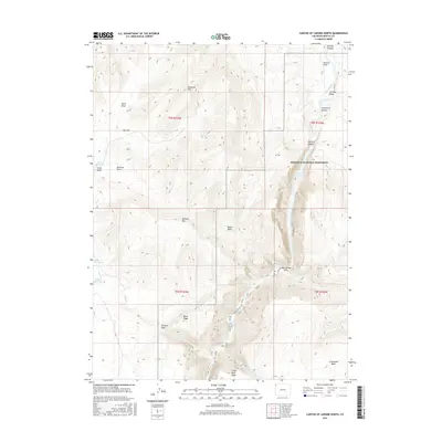
2016 Map of Canyon of Lodore North
USGS Topo · Published 2016About this map
The Green River carves through the dramatic geological formations of Northwest Colorado, entering the northern reaches of Dinosaur National Monument. This survey illustrates the river's path as it transitions from the open valley of Browns Park into the restrictive walls of the Canyon of Lodore. Landmarks such as the Gates of Lodore mark the entrance to the canyon, while significant topographical features like Diamond Mtn and Offield Mtn dominate the surrounding highlands.
Find a feature on this map
30 named features on this map. Tap any name to fly to it.
Don’t see what you’re looking for? This feature index may not catch every label — zoom into the map to look around manually.
Map Details
Editions of this 2016 Canyon of Lodore North Map
This is the sole edition of this map. No revisions or reprints were ever made.
Other maps of this area

1885 · Ashley
USGS Topo · 1:250,000

1952 · Swallow Canyon
USGS Topo · 1:24,000

1954 · Lodore School
USGS Topo · 1:24,000

1954 · Canyon of Lodore South
USGS Topo · 1:24,000

1954 · Canyon of Lodore North
USGS Topo · 1:24,000

1954 · Vernal
USGS Topo · 1:250,000

1955 · Jones Hole
USGS Topo · 1:24,000

1958 · Vernal
USGS Topo · 1:250,000

1960 · Vernal
USGS Topo · 1:250,000

1966 · Big Joe Basin
USGS Topo · 1:24,000