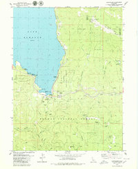
1979 Map of Canyondam
USGS Topo · Published 1979About this map
Lake Almanor dominates the northwestern corner of this landscape, its shoreline dotted with recreational sites like Mountain View Campground and Eastshore Picnic Area. Near the southern dam, the settlement of Canyondam serves as a focal point for infrastructure, including an Intake Tower, Gaging Station, and Substation. The rugged terrain of the Plumas National Forest and Lassen National Forest is deeply etched by the North Fork Feather River and numerous tributaries such as Wolf Creek and Clear Creek.
Find a feature on this map
58 named features on this map. Tap any name to fly to it.
Don’t see what you’re looking for? This feature index may not catch every label — zoom into the map to look around manually.
Map Details
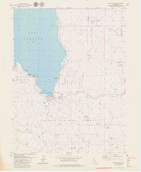
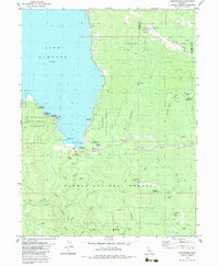
Editions of this 1979 Canyondam Map
3 editions found
Other maps of this area

1886 · Honey Lake
USGS Topo · 1:250,000

1886 · Lassen Peak
USGS Topo · 1:250,000

1891 · Honey Lake
USGS Topo · 1:250,000

1892 · Lassen Peak
USGS Topo · 1:250,000

1893 · Honey Lake
USGS Topo · 1:250,000

1894 · Lassen Peak
USGS Topo · 1:250,000

1950 · Greenville
USGS Topo · 1:62,500

1955 · Westwood
USGS Topo · 1:62,500

1955 · Almanor
USGS Topo · 1:62,500

1955 · Westwood
USGS Topo · 1:250,000