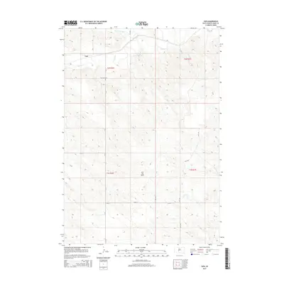
2015 Map of Capa
USGS Topo · Published 2015About this map
Capa sits at the northern edge of this high plains landscape, positioned just south of the winding Bad River. The terrain is defined by its dramatic elevation changes and dry drainages, with the prominent Flat Top Butte rising as a distinct landmark in the central portion of the quadrangle. For those researching local history or genealogy, the Riverview Cem is located on the bluffs overlooking the river valley, offering a tangible link to the early residents of this Jones County region. The map captures a grid of rural routes including 259th Ave and 231st St, which intersect a landscape primarily shaped by natural watercourses like Big Prairie Dog Cr and Dry Cr. These features highlight the sparse settlement patterns and the essential role of topography in defining the character of the South Dakota prairie.
Find a feature on this map
17 named features on this map. Tap any name to fly to it.
Don’t see what you’re looking for? This feature index may not catch every label — zoom into the map to look around manually.
Map Details
Editions of this 2015 Capa Map
This is the sole edition of this map. No revisions or reprints were ever made.
Other maps of this area

1951 · Capa
USGS Topo · 1:24,000

1951 · Van Metre
USGS Topo · 1:24,000

1951 · Capa NW
USGS Topo · 1:24,000

1951 · Capa SE
USGS Topo · 1:24,000

1954 · Midland SE
USGS Topo · 1:24,000

1954 · Pierre
USGS Topo · 1:250,000

1955 · Martin
USGS Topo · 1:250,000

1958 · Pierre
USGS Topo · 1:250,000

1958 · Martin
USGS Topo · 1:250,000

1972 · Okaton
USGS Topo · 1:24,000