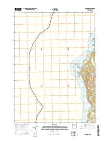
2014 Map of Cape Arago
USGS Topo · Published 2014About this map
Cape Arago defines this portion of the Coos County shoreline, where the land meets the Pacific Ocean in a series of sharp headlands and sheltered coves. The landscape is dominated by the protective boundaries of Cape Arago State Park, which preserves a rugged coastline featuring North Cove, Middle Cove, and South Cove. Offshore, navigation hazards and landmarks like Baltimore Rock, Simpson Reef, and Shell Island mark the transition to deep water.
Find a feature on this map
26 named features on this map. Tap any name to fly to it.
Don’t see what you’re looking for? This feature index may not catch every label — zoom into the map to look around manually.
Map Details
Editions of this 2014 Cape Arago Map
This is the sole edition of this map. No revisions or reprints were ever made.
Other maps of this area

1896 · Coos Bay
USGS Topo · 1:125,000

1898 · Coos Bay
USGS Topo · 1:125,000

1900 · Coos Bay
USGS Topo · 1:125,000

1942 · Empire
USGS Topo · 1:62,500

1943 · Bandon
USGS Topo · 1:62,500

1944 · Empire
USGS Topo · 1:62,500

1944 · Bandon
USGS Topo · 1:62,500

1954 · Coos Bay
USGS Topo · 1:250,000

1958 · Coos Bay
USGS Topo · 1:250,000

1962 · Coos Bay
USGS Topo · 1:250,000