
1954 Map of Cape Blanco
USGS Topo · Published 1956About this map
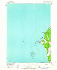
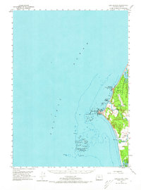
The westernmost point of the contiguous United States is defined here by Cape Blanco, where the Cape Blanco Lighthouse stands as a sentinel over a complex maritime landscape. This mid-century coastal survey reveals the agricultural and topographical character of the Curry County shoreline, particularly the Cranberry Bogs that dot the lowlands between the Sixes River and Elk River. The map meticulously details the offshore hazards of the Blanco Reef and Orford Reef, naming numerous sea stacks such as Arch Rock, Steamboat Rock, and Tower Rock. Inland, the settlement at Newburgh and the northern edge of Port Orford anchor the local road network, while the freshwater basins of Floras Lake and Garrison L provide a sharp contrast to the nearby Pacific Ocean.
Find a feature on this map
36 named features on this map. Tap any name to fly to it.
Don’t see what you’re looking for? This feature index may not catch every label — zoom into the map to look around manually.
Map Details
Editions of this 1954 Cape Blanco Map
3 editions found
Other maps of this area

1896 · Coos Bay
USGS Topo · 1:125,000

1898 · Coos Bay
USGS Topo · 1:125,000

1899 · Port Orford
USGS Topo · 1:125,000

1900 · Coos Bay
USGS Topo · 1:125,000

1903 · Port Orford
USGS Topo · 1:125,000

1943 · Bandon
USGS Topo · 1:62,500

1944 · Bandon
USGS Topo · 1:62,500

1954 · Coos Bay
USGS Topo · 1:250,000

1954 · Port Orford
USGS Topo · 1:62,500

1954 · Langlois
USGS Topo · 1:62,500