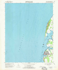
1968 Map of Cape Charles
USGS Topo · Published 1970About this map
The town of Cape Charles sits as a vital rail and maritime terminus along the Eastern Shore, as seen in this 1968 field survey. The street grid is clearly defined by Washington Ave and Mason Ave, terminating at the Penn Central rail yards and the industrial activity of Cape Charles Harbor. These facilities underscore the town’s role as a transportation hub, where land-based rail lines met the deep waters of the Chesapeake Bay.
Find a feature on this map
27 named features on this map. Tap any name to fly to it.
Don’t see what you’re looking for? This feature index may not catch every label — zoom into the map to look around manually.
Map Details
Editions of this 1968 Cape Charles Map
2 editions found
Other maps of this area

1942 · Cheriton
USGS Topo · 1:24,000

1943 · Elliots Creek
USGS Topo · 1:25,000

1943 · Townsend
USGS Topo · 1:24,000

1943 · Franktown
USGS Topo · 1:31,680

1943 · Richmond
USGS Topo · 1:250,000

1946 · Eastville
USGS Topo · 1:250,000

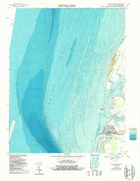
1948 · Cape Charles
USGS Topo · 1:24,000

1949 · Richmond
USGS Topo · 1:250,000
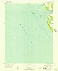
1955 · Elliotts Creek
USGS Topo · 1:24,000
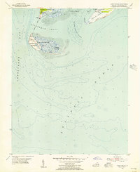
1955 · Cape Charles
USGS Topo · 1:24,000