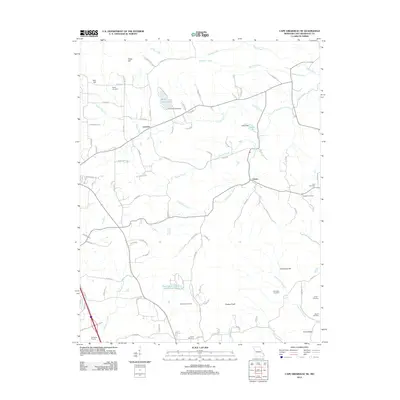
2012 Map of Cape Girardeau NE
USGS Topo · Published 2012About this map
Leemon and Oriole anchor this rural landscape in Cape Girardeau County, where a network of county roads connects scattered family homesteads and local landmarks. The terrain is defined by a series of prominent elevations, including Iron Hill, Tricky Hill, and Grassy Knob, which overlook a complex drainage system of small creeks. Genealogists will find a high density of burial sites throughout the area, such as Darby Cemetery and Heuer Cemetery, often situated near historic property boundaries or along the banks of Indian Creek. Water management is evident in the northern reaches with Number 819 Dam forming Bella Vista Lake and Lipps Dam creating Lipps Lake. The map reveals a transition toward more concentrated residential development in the south, notably around the North Hills Estate Subdivision Lake, while the remainder of the area maintains its traditional agricultural and woodland character.
Find a feature on this map
85 named features on this map. Tap any name to fly to it.
Don’t see what you’re looking for? This feature index may not catch every label — zoom into the map to look around manually.
Map Details
Editions of this 2012 Cape Girardeau NE Map
This is the sole edition of this map. No revisions or reprints were ever made.
Other maps of this area

1918 · Altenburg
USGS Topo · 1:62,500

1920 · Jonesboro
USGS Topo · 1:62,500

1922 · Cape Girardeau
USGS Topo · 1:62,500

1923 · Jonesboro
USGS Topo · 1:62,500

1924 · Cape Girardeau
USGS Topo · 1:62,500

1924 · Alto Pass
USGS Topo · 1:62,500

1925 · Altenburg
USGS Topo · 1:62,500

1947 · Jonesboro
USGS Topo · 1:62,500

1947 · Alto Pass
USGS Topo · 1:62,500

1947 · Mc Clure
USGS Topo · 1:24,000