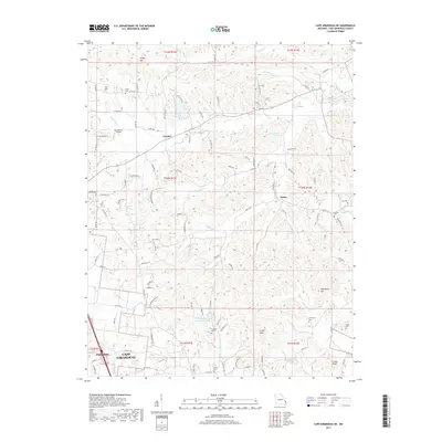
2017 Map of Cape Girardeau NE
USGS Topo · Published 2017About this map
Leemon and Oriole sit among the ridges and creek valleys north of the growing cities of Cape Girardeau and Jackson in this 2017 survey. The landscape is defined by its numerous small burial grounds and watercourses, reflecting a pattern of long-standing rural settlement that persists even as modern developments like the N Hills Estate Subdivision Lake emerge. Genealogy researchers can find several family-named landmarks such as Darby Cem, Lange Cem, and Vangilder Cem tucked away near the winding paths of Indian Cr and Little Indian Cr.
Find a feature on this map
107 named features on this map. Tap any name to fly to it.
Don’t see what you’re looking for? This feature index may not catch every label — zoom into the map to look around manually.
Map Details
Editions of this 2017 Cape Girardeau NE Map
This is the sole edition of this map. No revisions or reprints were ever made.
Other maps of this area

1918 · Altenburg
USGS Topo · 1:62,500

1920 · Jonesboro
USGS Topo · 1:62,500

1922 · Cape Girardeau
USGS Topo · 1:62,500

1923 · Jonesboro
USGS Topo · 1:62,500

1924 · Cape Girardeau
USGS Topo · 1:62,500

1924 · Alto Pass
USGS Topo · 1:62,500

1925 · Altenburg
USGS Topo · 1:62,500

1947 · Jonesboro
USGS Topo · 1:62,500

1947 · Alto Pass
USGS Topo · 1:62,500

1947 · Mc Clure
USGS Topo · 1:24,000