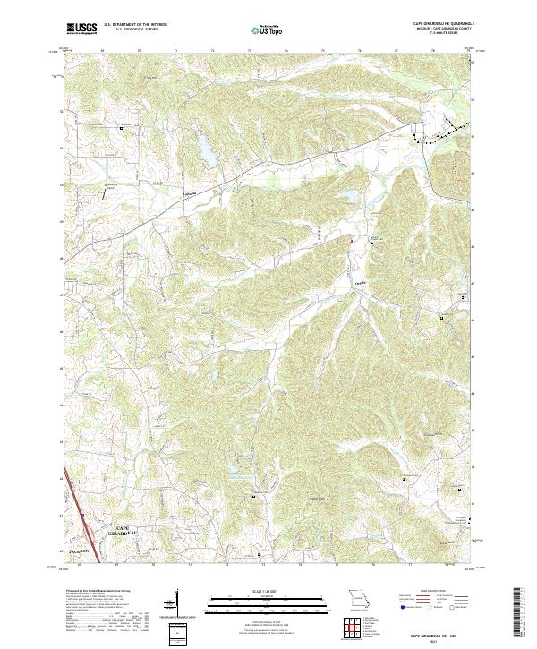
2021 Map of Cape Girardeau NE
USGS Topo · Published 2021About this map
The northern reaches of Cape Girardeau and neighboring Jackson meet in this landscape defined by the rolling hills and creek valleys of southeastern Missouri. The area is marked by a high density of rural burial grounds that speak to the long-standing family settlements of the region, including Vangilder Cem, Noland Cem, and the McLains Chapel Cem. Smaller communities like Leemon and Oriole are situated among a complex network of county roads and named ridges such as Tricky Hill, Iron Hill, and Grassy Knob.
Find a feature on this map
113 named features on this map. Tap any name to fly to it.
Don’t see what you’re looking for? This feature index may not catch every label — zoom into the map to look around manually.
Map Details
Editions of this 2021 Cape Girardeau NE Map
This is the sole edition of this map. No revisions or reprints were ever made.
Other maps of this area

1918 · Altenburg
USGS Topo · 1:62,500

1920 · Jonesboro
USGS Topo · 1:62,500

1922 · Cape Girardeau
USGS Topo · 1:62,500

1923 · Jonesboro
USGS Topo · 1:62,500

1924 · Cape Girardeau
USGS Topo · 1:62,500

1924 · Alto Pass
USGS Topo · 1:62,500

1925 · Altenburg
USGS Topo · 1:62,500

1947 · Jonesboro
USGS Topo · 1:62,500

1947 · Alto Pass
USGS Topo · 1:62,500

1947 · Mc Clure
USGS Topo · 1:24,000