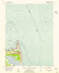
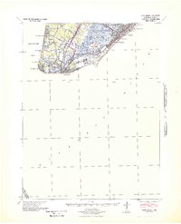
1954 Map of Cape Henlopen
USGS Topo · Published 1956About this map
The U S Military Reservation (Fort Miles) dominates the coastline at Cape Henlopen in this mid-1950s survey. This strategically vital point marks the meeting of the Delaware Bay and the Atlantic Ocean, anchored by the historic settlement of Lewes. The map illustrates a complex maritime landscape defined by massive protective structures, including the Harbor of Refuge and Breakwater Harbor, which provided essential shelter for shipping.
Find a feature on this map
28 named features on this map. Tap any name to fly to it.
Don’t see what you’re looking for? This feature index may not catch every label — zoom into the map to look around manually.
Map Details
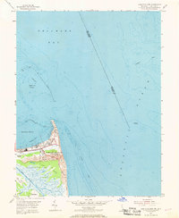
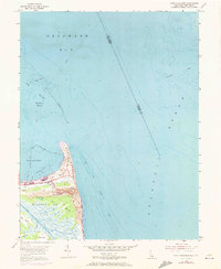
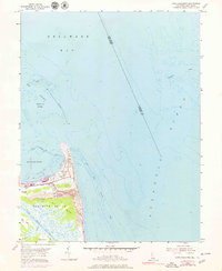
Editions of this 1954 Cape Henlopen Map
4 editions found
Other maps of this area

1888 · Cape May
USGS Topo · 1:62,500

1893 · Cape May
USGS Topo · 1:62,500

1898 · Cape May
USGS Topo · 1:62,500

1918 · Rehoboth
USGS Topo · 1:62,500

1918 · Cape Henlopen
USGS Topo · 1:62,500

1918 · Cape May
USGS Topo · 1:62,500

1925 · Cape May
USGS Topo · 1:62,500

1937 · Cape Henlopen
USGS Topo · 1:62,500

1938 · Rehoboth
USGS Topo · 1:62,500
1940 · Cape May
USGS Topo · 1:62,500