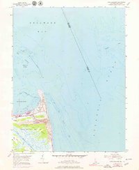
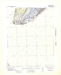
1954 Map of Cape Henlopen
USGS Topo · Published 1979About this map
The coastal landscape of Cape Henlopen at the mouth of the Delaware Bay reflects a maritime economy built on navigation and rail transport. The city of Lewes serves as the focal point, where the Penn Central and Lewes and Rehoboth railroads terminate near the sheltered waters of Breakwater Harbor. This 1954 survey, with updates from 1972, reveals a shoreline fortified by breakwaters and marked by navigational infrastructure, including a Coast Guard Station, a Lighthouse, and multiple towers such as Tower No 8 and Tower No 4A. Beyond the industrial and residential corridors, the terrain shifts into the shifting Sand Dunes and the broad tidal flats of District No 10. The map also captures significant nautical hazards like the Hen and Chickens Shoal and The Shears, highlighting the complexity of the Harbor of Refuge for mid-century shipping.
Find a feature on this map
30 named features on this map. Tap any name to fly to it.
Don’t see what you’re looking for? This feature index may not catch every label — zoom into the map to look around manually.
Map Details
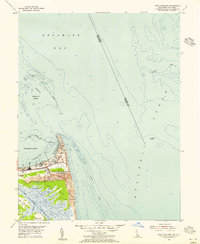
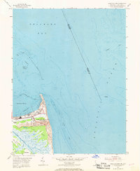
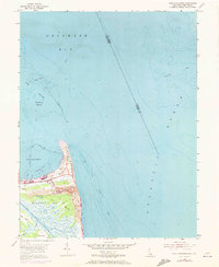
Editions of this 1954 Cape Henlopen Map
4 editions found
Other maps of this area

1888 · Cape May
USGS Topo · 1:62,500

1893 · Cape May
USGS Topo · 1:62,500

1898 · Cape May
USGS Topo · 1:62,500

1918 · Rehoboth
USGS Topo · 1:62,500

1918 · Cape Henlopen
USGS Topo · 1:62,500

1918 · Cape May
USGS Topo · 1:62,500

1925 · Cape May
USGS Topo · 1:62,500

1937 · Cape Henlopen
USGS Topo · 1:62,500

1938 · Rehoboth
USGS Topo · 1:62,500
1940 · Cape May
USGS Topo · 1:62,500