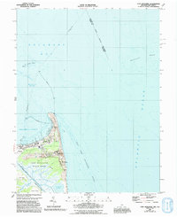
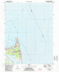
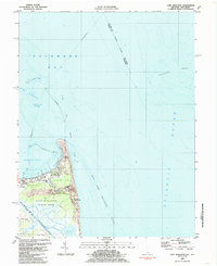
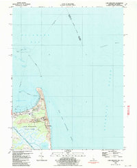
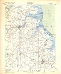
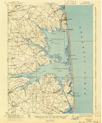
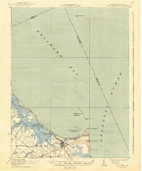
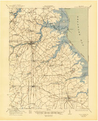
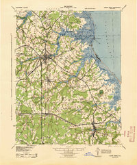
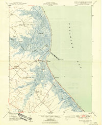
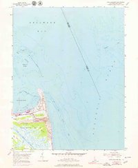
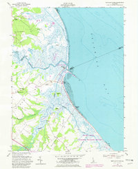
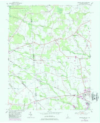
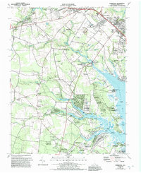
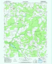
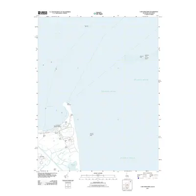
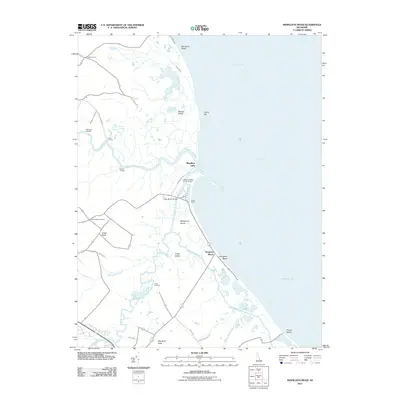
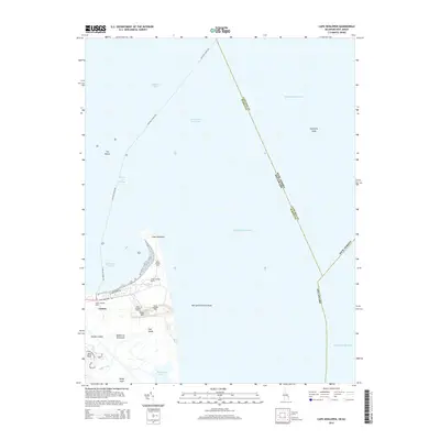
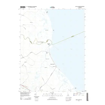
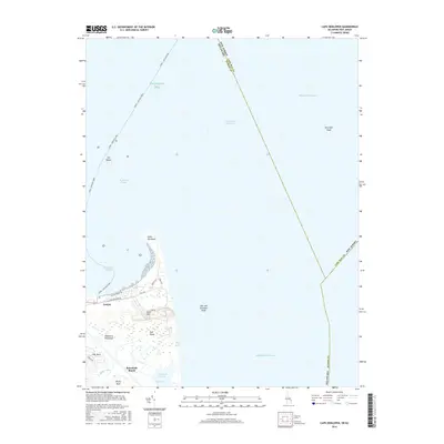
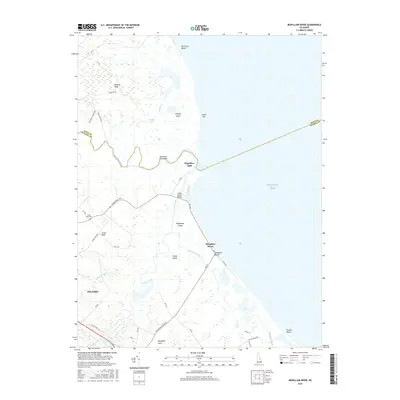
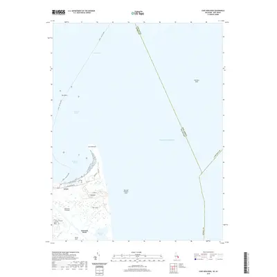
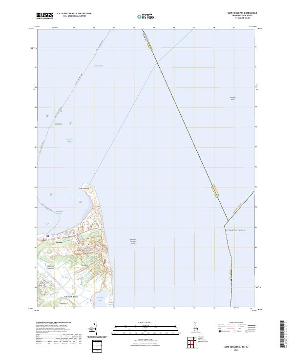
1984 Map of Cape Henlopen
USGS Topo · Published 1991About this map
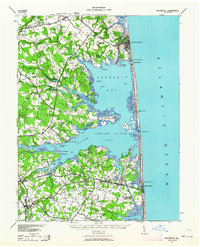
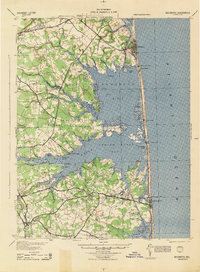
Cape Henlopen forms a distinctive hook of land where the Delaware Bay meets the Atlantic Ocean, a landscape defined by shifting Flat Sands and Sand Hill. This 1980s era survey illustrates the intersection of maritime commerce and preservation, centered on the Cape Henlopen State Park and the vital shipping channels protected by the massive Breakwater. The map details a complex coastal infrastructure, including numerous instances of Light and Lighthouse structures, and a Lookout Tower system essential for navigating the treacherous Hen and Chickens Shoal. Settlements like Lewes and rural reaches such as Gills Neck and Wolfe Neck are shown alongside scientific and defensive footprints like the Univ of Del Col of Marine Studies and the U S Military Reservation. The Cape May-Lewes Ferry provides a critical link across the water, marking the transition from the protected waters of Harbor of Refuge to the open sea.
Find a feature on this map
38 named features on this map. Tap any name to fly to it.
Don’t see what you’re looking for? This feature index may not catch every label — zoom into the map to look around manually.
Map Details
Editions of this 1984 Cape Henlopen Map
4 editions found
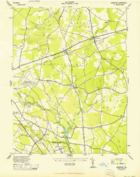
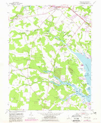
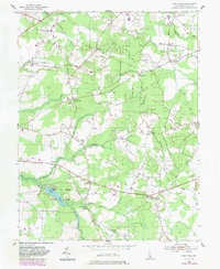
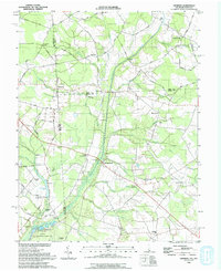
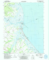
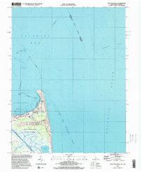
Historical Maps of Lewes Through Time
75 maps found

1918 Cape Henlopen
Sussex County, DE
1918 Cedar Creek
Sussex County, DE
1918 Rehoboth
Sussex County, DE

1919 Cedar Creek
Sussex County, DE
1937 Cape Henlopen
Sussex County, DE
1938 Cedar Creek
Sussex County, DE
1938 Rehoboth
Sussex County, DE
1943 Fairmount
Sussex County, DE
1944 Cape Henlopen
Sussex County, DE
1944 Cape Henlopen
Sussex County, DE
1944 Cedar Creek
Sussex County, DE
1944 Harbeson
Sussex County, DE
1944 Rehoboth
Sussex County, DE
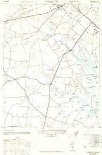
1948 Fairmount
Sussex County, DE
1949 Mispillion River
Sussex County, DE
1954 Cape Henlopen
Sussex County, DE
1954 Fairmount
Sussex County, DE
1954 Trap Pond
Sussex County, DE
1955 Harbeson
Sussex County, DE
1955 Hickman
Sussex County, DE
1955 Mispillion River
Sussex County, DE
1955 Seaford East
Sussex County, DE
1955 Seaford West
Sussex County, DE
1955 Trap Pond
Sussex County, DE
1980 Cape Henlopen
Sussex County, DE
1980 Fairmount
Sussex County, DE
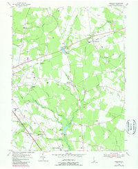
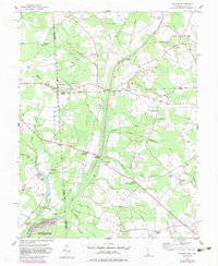
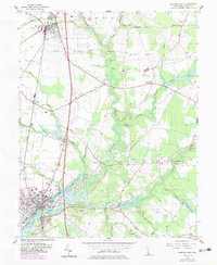
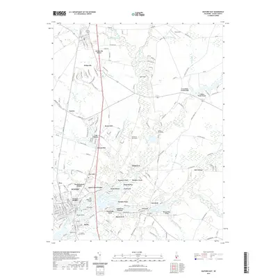
1984 Cape Henlopen
Sussex County, DE
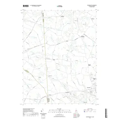
1984 Fairmount
Sussex County, DE
1992 Harbeson
Sussex County, DE
1992 Seaford East
Sussex County, DE
1992 Seaford West
Sussex County, DE
1992 Trap Pond
Sussex County, DE
1993 Hickman
Sussex County, DE
1993 Mispillion River
Sussex County, DE
1997 Cape Henlopen
Sussex County, DE
2011 Cape Henlopen
Sussex County, DE
2011 Fairmount
Sussex County, DE
2011 Harbeson
Sussex County, DE
2011 Hickman
Sussex County, DE
2011 Mispillion River
Sussex County, DE
2011 Seaford East
Sussex County, DE
2011 Seaford West
Sussex County, DE
2011 Trap Pond
Sussex County, DE
2014 Cape Henlopen
Sussex County, DE
2014 Fairmount
Sussex County, DE
2014 Harbeson
Sussex County, DE
2014 Hickman
Sussex County, DE
2014 Mispillion River
Sussex County, DE
2014 Seaford East
Sussex County, DE
2014 Seaford West
Sussex County, DE
2014 Trap Pond
Sussex County, DE
2016 Cape Henlopen
Sussex County, DE
2016 Fairmount
Sussex County, DE
2016 Harbeson
Sussex County, DE
2016 Hickman
Sussex County, DE
2016 Mispillion River
Sussex County, DE
2016 Seaford East
Sussex County, DE
2016 Seaford West
Sussex County, DE
2016 Trap Pond
Sussex County, DE
2019 Cape Henlopen
Sussex County, DE
2019 Fairmount
Sussex County, DE

2019 Harbeson
Sussex County, DE
2019 Hickman
Sussex County, DE
2019 Mispillion River
Sussex County, DE
2019 Seaford East
Sussex County, DE
2019 Seaford West
Sussex County, DE
2019 Trap Pond
Sussex County, DE
2023 Cape Henlopen
Sussex County, DE
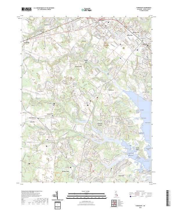
2023 Fairmount
Sussex County, DE
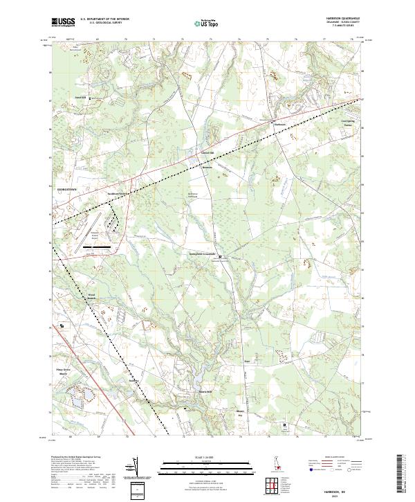
2023 Harbeson
Sussex County, DE
2023 Hickman
Sussex County, DE
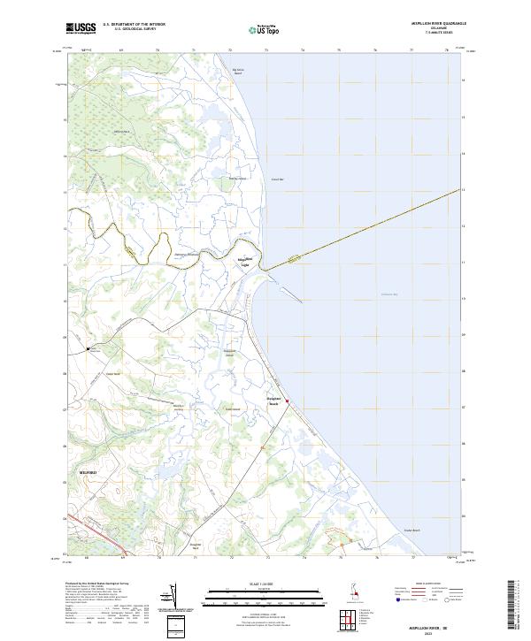
2023 Mispillion River
Sussex County, DE
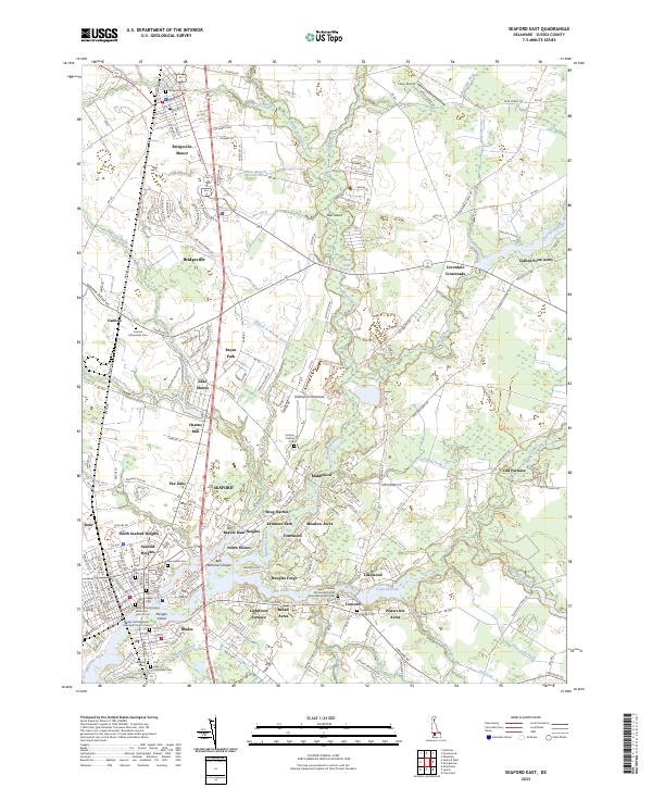
2023 Seaford East
Sussex County, DE
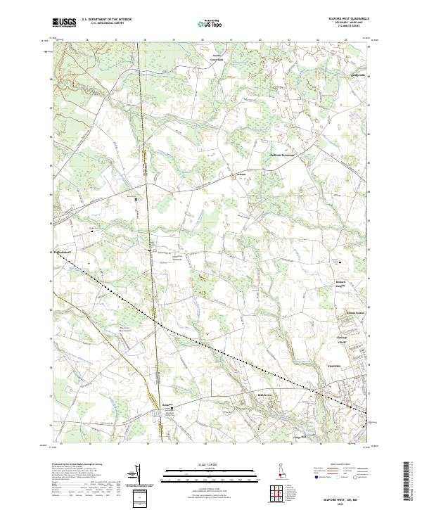
2023 Seaford West
Sussex County, DE
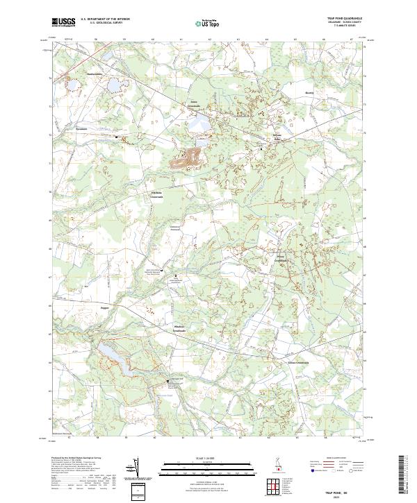
2023 Trap Pond
Sussex County, DE