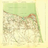
1919 Map of Cape Henry
USGS Topo · Published 1925About this map
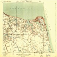
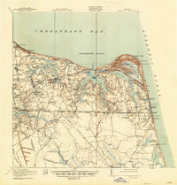
Cape Henry and the surrounding shoreline of Princess Anne county dominate this landscape at a time when the Norfolk Southern railway provided the primary link between the growing coastal resort and the interior. The topographic detail captures the intricate waterway network of Lynnhaven Bay, Broad Bay, and the Western Branch, revealing how early settlement patterns followed these tidal inlets. Notable infrastructure like the Norfolk City Waterworks and the Norfolk City Home are positioned near Little Creek, reflecting the expanding municipal needs of the era.
Find a feature on this map
100 named features on this map. Tap any name to fly to it.
Don’t see what you’re looking for? This feature index may not catch every label — zoom into the map to look around manually.
Map Details
Editions of this 1919 Cape Henry Map
7 editions found
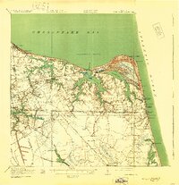
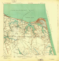
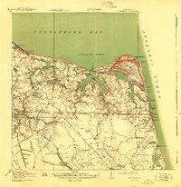
Other maps of this area

1893 · Virginia Beach
USGS Topo · 1:125,000

1907 · Norfolk
USGS Topo · 1:125,000

1907 · Hampton
USGS Topo · 1:62,500

1916 · Back Bay
USGS Topo · 1:62,500

1918 · Cape Henry
USGS Topo · 1:62,500

1919 · Cape Henry
USGS Topo · 1:62,500

1921 · Newport News
USGS Topo · 1:62,500

1939 · Moyock
USGS Topo · 1:62,500

1940 · Lake Drummond
USGS Topo · 1:62,500

1943 · Back Bay
USGS Topo · 1:62,500