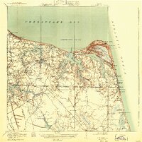
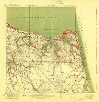
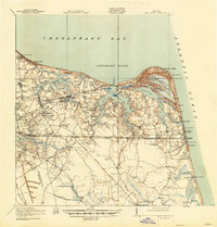
1919 Map of Cape Henry
USGS Topo · Published 1943About this map
Virginia Beach stands at the eastern edge of this coastal landscape, situated between the open Atlantic Ocean and the intricate tidal waterways of Linkhorn Bay and Broad Bay. The area is defined by its maritime geography, from the sweeping dunes of The Desert at Cape Henry to the sheltered waters of Lynnhaven Roads. Inland, the map reveals a transition from these sandy shores to a network of creeks and branches, including Little Creek and Wolfsnare Creek, where early road and rail lines connect established settlements.
Find a feature on this map
114 named features on this map. Tap any name to fly to it.
Don’t see what you’re looking for? This feature index may not catch every label — zoom into the map to look around manually.
Map Details
Editions of this 1919 Cape Henry Map
7 editions found
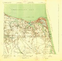
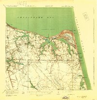
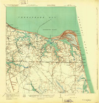
Other maps of this area

1893 · Virginia Beach
USGS Topo · 1:125,000

1907 · Norfolk
USGS Topo · 1:125,000

1907 · Hampton
USGS Topo · 1:62,500

1916 · Back Bay
USGS Topo · 1:62,500

1918 · Cape Henry
USGS Topo · 1:62,500

1919 · Cape Henry
USGS Topo · 1:62,500

1921 · Newport News
USGS Topo · 1:62,500

1939 · Moyock
USGS Topo · 1:62,500

1940 · Lake Drummond
USGS Topo · 1:62,500

1943 · Back Bay
USGS Topo · 1:62,500