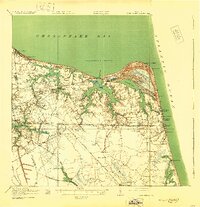
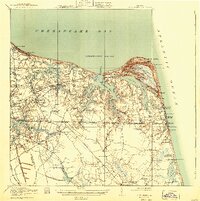
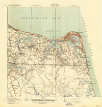
1919 Map of Cape Henry
USGS Topo · Published 1930About this map
Cape Henry and the surrounding coastline of Princess Anne Co define this landscape, where the Atlantic Ocean meets the Lynnhaven Roads. The map documents a maritime and agricultural region before extensive suburban development, showing the early footprint of Virginia Beach and scattered inland settlements like Oceana, Lynnhaven, and Kempsville. Significant infrastructure includes the Norfolk Southern and Virginian railroads, which linked these coastal communities to the larger Hampton Roads area.
Find a feature on this map
96 named features on this map. Tap any name to fly to it.
Don’t see what you’re looking for? This feature index may not catch every label — zoom into the map to look around manually.
Map Details
Editions of this 1919 Cape Henry Map
7 editions found
Other maps of this area

1893 · Virginia Beach
USGS Topo · 1:125,000

1907 · Norfolk
USGS Topo · 1:125,000

1907 · Hampton
USGS Topo · 1:62,500

1916 · Back Bay
USGS Topo · 1:62,500

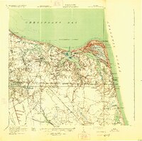
1918 · Cape Henry
USGS Topo · 1:62,500

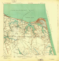
1919 · Cape Henry
USGS Topo · 1:62,500

1921 · Newport News
USGS Topo · 1:62,500

1939 · Moyock
USGS Topo · 1:62,500

1940 · Lake Drummond
USGS Topo · 1:62,500

1943 · Back Bay
USGS Topo · 1:62,500