
1919 Map of Cape Henry
USGS Topo · Published 1919About this map
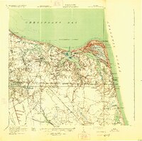
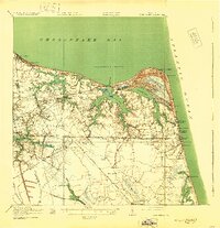
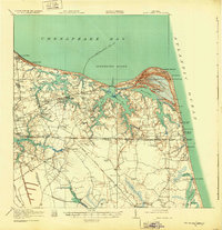
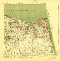
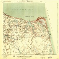
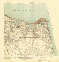
Cape Henry stands at the corner of the Chesapeake Bay and the Atlantic Ocean, anchoring a landscape of tidal inlets and growing coastal settlements during the early twentieth century. This survey documents the intricate geography of Lynnhaven Bay and Broad Bay, where the wooded expanse of The Desert meets the shore near the Coast Guard Sta. Inland, a network of crossroads settlements and small truck farms is connected by the Norfolk Southern railroad and electric lines. Genealogists will find a wealth of local landmarks, from the historic Old Donation Church and Haygood Church to family-named landmarks like Murdens Corner, Ships Corner, and Barneys Corner. The map also captures infrastructure critical to the nearby city, including the Norfolk City Waterworks and the Norfolk City Home, alongside the early development of Virginia Beach and its New Casino.
Find a feature on this map
107 named features on this map. Tap any name to fly to it.
Don’t see what you’re looking for? This feature index may not catch every label — zoom into the map to look around manually.
Map Details
Editions of this 1919 Cape Henry Map
7 editions found
Other maps of this area

1893 · Virginia Beach
USGS Topo · 1:125,000

1907 · Norfolk
USGS Topo · 1:125,000

1907 · Hampton
USGS Topo · 1:62,500

1916 · Back Bay
USGS Topo · 1:62,500

1918 · Cape Henry
USGS Topo · 1:62,500

1921 · Newport News
USGS Topo · 1:62,500

1939 · Moyock
USGS Topo · 1:62,500

1940 · Lake Drummond
USGS Topo · 1:62,500

1943 · Back Bay
USGS Topo · 1:62,500

1943 · Richmond
USGS Topo · 1:250,000