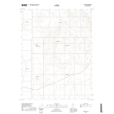
2018 Map of Cape Horn
USGS Topo · Published 2018About this map
Simpson Park Mountains dominate the central topography of this Lander County region, providing a sharp contrast to the adjacent Big Smoky Valley to the west. This 2018 survey reveals a landscape largely defined by its traditional grazing and public land survey systems, including sections of t18n r46e and t19n r46e. The small settlement of Cape Horn sits at the base of the mountains, serving as a primary point of human activity along the valley edge. Water sources are scarce in this arid high-desert environment, with Ackerman Spring noted in the northeastern reaches of the mountains. The map illustrates a network of local roads and 4WD trails that navigate the steep elevation changes between the valley floor and the high peaks, reflecting the continued importance of land access for ranching and remote land management in the Great Basin.
Find a feature on this map
11 named features on this map. Tap any name to fly to it.
Don’t see what you’re looking for? This feature index may not catch every label — zoom into the map to look around manually.
Map Details
Editions of this 2018 Cape Horn Map
This is the sole edition of this map. No revisions or reprints were ever made.
Other maps of this area

1926 · Roberts Mountains
USGS Topo · 1:250,000

1929 · Roberts Mountains
USGS Topo · 1:250,000

1955 · Millett
USGS Topo · 1:250,000

1956 · Mount Callaghan
USGS Topo · 1:62,500

1956 · Ackerman Canyon
USGS Topo · 1:62,500

1959 · Millett
USGS Topo · 1:250,000

1960 · Hickison Summit
USGS Topo · 1:62,500

1960 · Spencer Hot Springs
USGS Topo · 1:62,500

1978 · Summit Mountain
USGS Topo · 1:100,000

1979 · Simpson Park Mtns
USGS Topo · 1:100,000