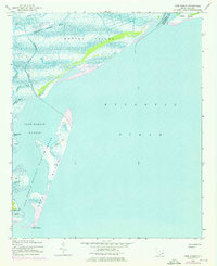
1942 Map of Cape Romain
USGS Topo · Published 1976About this map
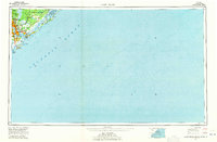
Cape Romain National Wildlife Refuge dominates this coastal landscape, protecting a complex network of barrier islands and salt marshes along the South Carolina shore. The 1942 topography, revised with 1973 aerial data, captures the shifting sands and tidal inlets of Cape Island and Murphy Island. The Intracoastal Waterway cuts through the northern marshlands, providing a protected passage inland from the Atlantic Ocean. The map reveals the intricate hydrology of the Lowcountry, defined by meandering tidal channels like Alligator Creek and Needles Eye Creek. On Lighthouse Island, the namesake landmark serves as a primary navigational point for Cape Romain Harbor. This survey preserves the exact coastal contours of the Charleston and Georgetown county border at the South Santee River before further modern development and natural erosion altered these fragile landforms.
Find a feature on this map
19 named features on this map. Tap any name to fly to it.
Don’t see what you’re looking for? This feature index may not catch every label — zoom into the map to look around manually.
Map Details
Editions of this 1942 Cape Romain Map
4 editions found
Other maps of this area

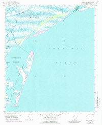
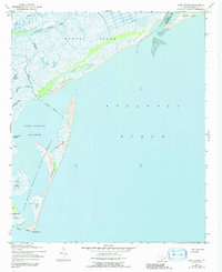
1942 · Cape Romain
USGS Topo · 1:24,000

1942 · Mc Clellanville
USGS Topo · 1:24,000

1942 · Santee Point
USGS Topo · 1:24,000

1943 · Santee
USGS Topo · 1:24,000

1943 · Minim Island
USGS Topo · 1:24,000

1948 · James Island
USGS Topo · 1:250,000

1949 · Georgetown
USGS Topo · 1:250,000

1967 · Georgetown
USGS Topo · 1:250,000
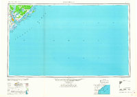
1968 · James Island
USGS Topo · 1:250,000
1969 · James Island
USGS Topo · 1:250,000