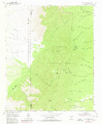
1954 Map of Capilla Peak
USGS Topo · Published 1980About this map
The Manzano Mountains dominate this high-altitude landscape within the Cibola National Forest, where the terrain is carved by a complex network of canyons. The 1954 field check captures the area’s utility as a site for both scientific observation and recreation, centered on Capilla Peak with its Lookout Tower, Observatory, and established Picnic Grounds. These landmarks are connected by the Crest Trail, which traverses the high ridges between Osha Peak and Gallo Peak.
Find a feature on this map
45 named features on this map. Tap any name to fly to it.
Don’t see what you’re looking for? This feature index may not catch every label — zoom into the map to look around manually.
Map Details
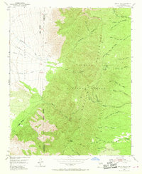
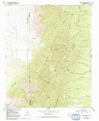
Editions of this 1954 Capilla Peak Map
4 editions found
Other maps of this area

1917 · Estancia
USGS Topo · 1:125,000

1952 · Tome SE
USGS Topo · 1:24,000

1952 · Tome NE
USGS Topo · 1:24,000

1952 · Los Lunas SE
USGS Topo · 1:24,000

1954 · Bosque Peak
USGS Topo · 1:24,000

1954 · Capilla Peak
USGS Topo · 1:24,000

1954 · Torreon
USGS Topo · 1:24,000

1954 · Tajique
USGS Topo · 1:24,000

1954 · Torreon
USGS Topo · 1:62,500

1954 · Socorro
USGS Topo · 1:250,000