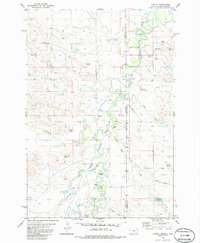
1980 Map of Capitol
USGS Topo · Published 1986About this map
The Little Missouri River meanders through this borderland region where the Black Hills Meridian marks the transition between Carter County, Montana, and Harding County, South Dakota. The settlement of Capitol serves as a local focal point, supported by the Capitol Sch and a nearby Cemetery. This area of the Great Plains is defined by its series of dramatic river bends, such as Lupe Bend, Harring Bend, and Petes Bend, along with distinctive topographic landmarks like Indian Butte and Three Peaks. The landscape is etched with numerous ephemeral drainages including Sand Creek, Hackberry Creek, and Forty-eight Mile Creek, reflecting a land shaped by water and wind. Scattered ranching infrastructure is evident through the presence of Sky Ranch and designated Landing Strips, which underscore the vast distances of this high-plains geography during the late twentieth century.
Find a feature on this map
35 named features on this map. Tap any name to fly to it.
Don’t see what you’re looking for? This feature index may not catch every label — zoom into the map to look around manually.
Map Details
Editions of this 1980 Capitol Map
2 editions found
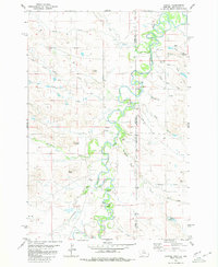
Other maps of this area

1935 · Harding
USGS Topo · 1:125,000

1935 · Buffalo
USGS Topo · 1:125,000

1954 · Lemmon
USGS Topo · 1:250,000

1954 · Ekalaka
USGS Topo · 1:250,000

1956 · Ekalaka
USGS Topo · 1:250,000

1957 · Lemmon
USGS Topo · 1:250,000

1958 · Ekalaka
USGS Topo · 1:250,000

1965 · Ekalaka
USGS Topo · 1:250,000
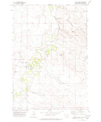
1977 · Camp Crook
USGS Topo · 1:24,000
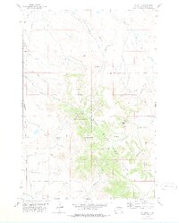
1978 · J K Butte
USGS Topo · 1:24,000