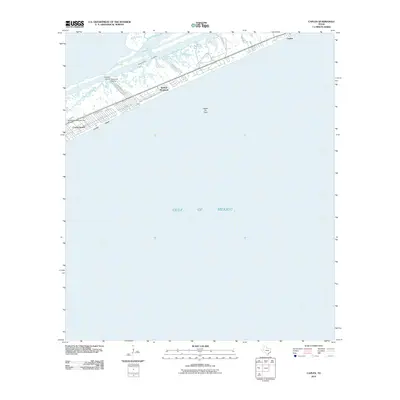
2010 Map of Caplen
USGS Topo · Published 2010About this map
The Bolivar Peninsula barrier island separates the East Bay from the open Gulf of Mexico in this coastal Texas survey. The map details a landscape defined by maritime infrastructure and energy extraction, with the Intracoastal Waterway cutting through the marshy interior north of the main settlements. Linear residential developments at Crystal Beach and Caplen illustrate the transition from traditional fishing and boating hubs to modern vacation destinations. Local industry is anchored by the Caplen Oil Field and maritime facilities such as Stingaree Marina and Charpiot Marina. The presence of the Seafood Warehouse Park Airport and roads like Oilfield Rd reflect the diverse economic activities on this narrow strip of land, where the rhythmic grids of coastal streets meet the irregular shoreline of the bay.
Find a feature on this map
16 named features on this map. Tap any name to fly to it.
Don’t see what you’re looking for? This feature index may not catch every label — zoom into the map to look around manually.
Map Details
Editions of this 2010 Caplen Map
This is the sole edition of this map. No revisions or reprints were ever made.
Other maps of this area

1931 · Flake
USGS Topo · 1:24,000

1931 · High Island
USGS Topo · 1:24,000

1931 · Frozen Point
USGS Topo · 1:24,000

1933 · Frozen Point
USGS Topo · 1:31,680

1933 · Caplen
USGS Topo · 1:31,680

1933 · The Jetties
USGS Topo · 1:31,680

1933 · Whites Lake
USGS Topo · 1:31,680

1933 · Flake
USGS Topo · 1:31,680

1943 · High Island
USGS Topo · 1:31,680
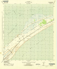
1943 · Flake
USGS Topo · 1:25,000