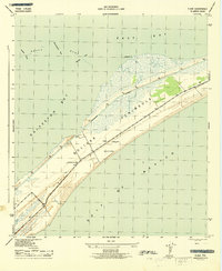
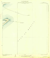
1943 Map of Flake
USGS Topo · Published 1943About this map
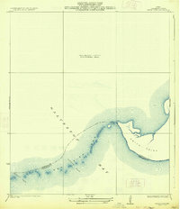
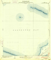
Bolivar Peninsula serves as the focal point for this 1943 War Department survey, depicting a narrow strip of land separating the Gulf of Mexico from the intricate waters of Galveston Bay and East Bay. The landscape is dominated by the strategic infrastructure of the era, including the Intracoastal Waterway and a prominent Lookout Tower positioned near the small settlement of Flake.
Find a feature on this map
15 named features on this map. Tap any name to fly to it.
Don’t see what you’re looking for? This feature index may not catch every label — zoom into the map to look around manually.
Map Details
Editions of this 1943 Flake Map
2 editions found

Other maps of this area
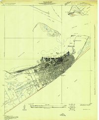
1930 · Galveston
USGS Topo · 1:24,000

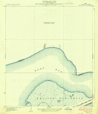
1931 · Flake
USGS Topo · 1:24,000

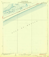
1931 · Frozen Point
USGS Topo · 1:24,000

1932 · Bolivar Point
USGS Topo · 1:24,000
1933 · Frozen Point
USGS Topo · 1:31,680
1933 · Caplen
USGS Topo · 1:31,680
1933 · The Jetties
USGS Topo · 1:31,680

1933 · Whites Lake
USGS Topo · 1:31,680
1933 · Smith Point
USGS Topo · 1:31,680
1933 · Bolivar Point
USGS Topo · 1:31,680