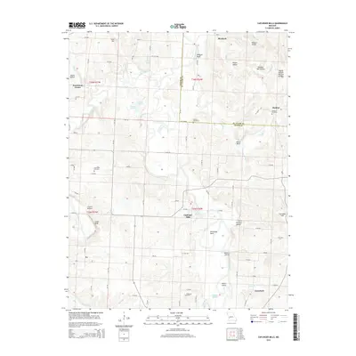
2015 Map of Caplinger Mills
USGS Topo · Published 2015About this map
Caplinger Mills sits at a prominent bend in the Sac River, where the Sac River Reservoir meets the natural flow of the waterway. This 2015 topography shows a landscape defined by deeply incised drainages like Vilhauer Hollow and Wright Hollow, which feed into the river system. The surrounding terrain is dotted with small agricultural settlements and rural junctions such as Blackjack and Hackleman Corner.
Find a feature on this map
68 named features on this map. Tap any name to fly to it.
Don’t see what you’re looking for? This feature index may not catch every label — zoom into the map to look around manually.
Map Details
Editions of this 2015 Caplinger Mills Map
This is the sole edition of this map. No revisions or reprints were ever made.
Other maps of this area

1886 · Stockton
USGS Topo · 1:125,000

1937 · Tiffin
USGS Topo · 1:31,680

1938 · Roscoe
USGS Topo · 1:24,000

1938 · Vista
USGS Topo · 1:24,000

1939 · Caplinger Mills
USGS Topo · 1:24,000

1939 · Arnica
USGS Topo · 1:24,000

1939 · Filley
USGS Topo · 1:24,000

1940 · Roscoe
USGS Topo · 1:24,000

1940 · Filley
USGS Topo · 1:24,000

1940 · Vista
USGS Topo · 1:24,000