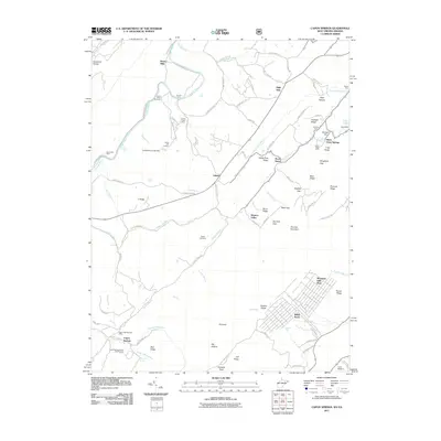
2011 Map of Capon Springs
USGS Topo · Published 2011About this map
Capon Springs and its surrounding mountain gaps define this landscape along the border of West Virginia and Virginia. The area is characterized by a high concentration of recreational and youth camps, including Camp Rock Enon, Camp Tall Timbers, and Camp White Mountain. The drainage of the Cacapon River and Back Creek shapes the local geography, with numerous named crossings such as Arnold Ford and Hooks Mills indicating historical travel routes through the ridges. Genealogists may find interest in the Racey Cemetery and the clustered settlements of Lehew and High View. The map also details the established Capon Springs Resort Golf Course and the residential development at Wilde Acres, illustrating the region's long-standing role as a mountain retreat.
Find a feature on this map
101 named features on this map. Tap any name to fly to it.
Don’t see what you’re looking for? This feature index may not catch every label — zoom into the map to look around manually.
Map Details
Editions of this 2011 Capon Springs Map
This is the sole edition of this map. No revisions or reprints were ever made.
Other maps of this area

1891 · Romney
USGS Topo · 1:125,000

1894 · Winchester
USGS Topo · 1:125,000

1916 · Capon Bridge
USGS Topo · 1:62,500

1921 · Hanging Rock
USGS Topo · 1:48,000

1922 · Wardensville
USGS Topo · 1:62,500

1923 · Middletown
USGS Topo · 1:62,500

1923 · Capon Bridge
USGS Topo · 1:62,500

1923 · Hanging Rock
USGS Topo · 1:62,500

1924 · Wardensville
USGS Topo · 1:62,500

1937 · Capon Bridge
USGS Topo · 1:48,000