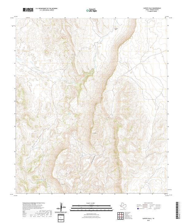
2022 Map of Capote Falls
USGS Topo · Published 2022About this map
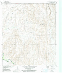
Capote Falls marks a significant vertical break in the high desert terrain of Presidio County, where the seasonal flow of Capote Cr cuts through the escarpment. This 2022 survey documents a landscape defined by critical water sources in an otherwise arid environment, including Mexican Spring and Nixon Spring. The topographical detail captures the complex drainage systems of Arroyo Palo Blanco and Arroyo Tinaja Blanca, which channel runoff from the surrounding high ground toward the Cienega Basin. The prominence of El Macho stands as a primary landmark in this sparsely settled region. For researchers and geologists, the map provides a precise contemporary record of these vital springs and the hydrologic network of Cat Cr before they are influenced by shifting climate patterns.
Find a feature on this map
10 named features on this map. Tap any name to fly to it.
Don’t see what you’re looking for? This feature index may not catch every label — zoom into the map to look around manually.
Map Details
Editions of this 2022 Capote Falls Map
This is the sole edition of this map. No revisions or reprints were ever made.
Other maps of this area

1895 · Marfa
USGS Topo · 1:125,000

1896 · San Carlos
USGS Topo · 1:125,000

1959 · Marfa
USGS Topo · 1:250,000

1965 · Marfa
USGS Topo · 1:250,000
1978 · Capote Peak
USGS Topo · 1:24,000

1979 · Ruidosa Hot Springs
USGS Topo · 1:24,000

1979 · Capote Falls
USGS Topo · 1:24,000
1979 · Candelaria
USGS Topo · 1:24,000
1979 · Pueblo Nuevo
USGS Topo · 1:24,000
1979 · McComb Canyon
USGS Topo · 1:24,000