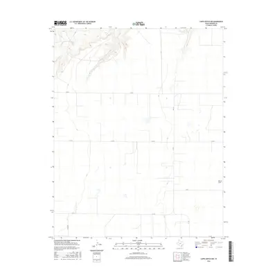
2016 Map of Capps Switch NW
USGS Topo · Published 2016About this map
Coldwater Cr cuts through the northern reaches of this Sherman County landscape, creating a distinct break in the otherwise steady agricultural grid. In this 2016 survey, the land is largely defined by the expansive geometry of the Texas Panhandle, where state and county roads serve as the primary lifelines between isolated farmsteads and fields. Notable thoroughfares include FM 1573, FM 1060, and FM 520, which navigate the open terrain and seasonal drainages like Hannas Draw. This topographic view captures the region just before recent shifts in industrial agriculture, showing the established network of section-line roads such as W Craig Rd and Co RD U that have structured local land ownership for generations.
Find a feature on this map
9 named features on this map. Tap any name to fly to it.
Don’t see what you’re looking for? This feature index may not catch every label — zoom into the map to look around manually.
Map Details
Editions of this 2016 Capps Switch NW Map
This is the sole edition of this map. No revisions or reprints were ever made.
Other maps of this area

1954 · Perryton
USGS Topo · 1:250,000

1958 · Perryton
USGS Topo · 1:250,000

1972 · Capps Switch
USGS Topo · 1:24,000

1972 · Sunray
USGS Topo · 1:24,000
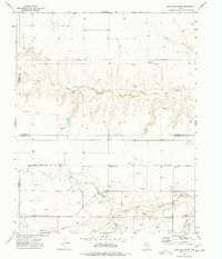
1974 · Capps Switch SE
USGS Topo · 1:24,000

1974 · Stevens SE
USGS Topo · 1:24,000

1974 · Sunray 1 SW
USGS Topo · 1:24,000

1974 · Sunray 1 SE
USGS Topo · 1:24,000

1974 · Capps Switch NW
USGS Topo · 1:24,000
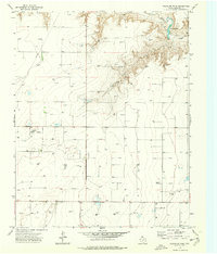
1974 · Pleasure Pond
USGS Topo · 1:24,000