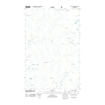
2011 Map of Captain Point
USGS Topo · Published 2011About this map
Captain Point and Mount Fernow anchor this high-elevation landscape in the Cascades during the early 21st century. The drainage of the North Fork Rapid River and the main stem of the Rapid River carve deep valleys through a series of named peaks, including Valhalla Mountain, Scrabble Mountain, and Scorpion Mountain. This environment is defined by its concentrated glacial and alpine hydrology, featuring a high density of small mountain lakes such as Lake Louis, Heather Lake, Grizzly Lake, and the uniquely named Mount Fernow Potholes.
Find a feature on this map
36 named features on this map. Tap any name to fly to it.
Don’t see what you’re looking for? This feature index may not catch every label — zoom into the map to look around manually.
Map Details
Editions of this 2011 Captain Point Map
This is the sole edition of this map. No revisions or reprints were ever made.
Other maps of this area

1902 · Skykomish
USGS Topo · 1:125,000

1905 · Skykomish
USGS Topo · 1:125,000

1957 · Wenatchee
USGS Topo · 1:250,000

1965 · Captain Point
USGS Topo · 1:24,000

1965 · Evergreen Mtn
USGS Topo · 1:24,000

1965 · Stevens Pass
USGS Topo · 1:24,000

1965 · Skykomish
USGS Topo · 1:24,000

1965 · Poe Mountain
USGS Topo · 1:24,000
1965 · Bench Mark Mtn
USGS Topo · 1:24,000
1965 · Scenic
USGS Topo · 1:24,000