
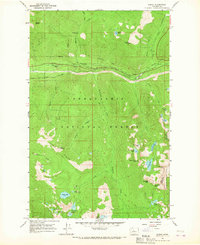
1965 Map of Stevens Pass
USGS Topo · Published 1967About this map
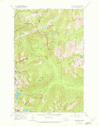
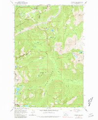
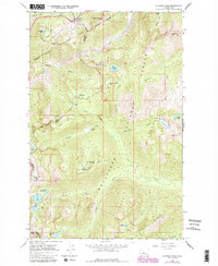
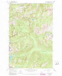
Stevens Pass Guard Station sits at the high point of this mountain crossing, marking a critical junction where the Great Northern railway tunnels through the Cascades. The map details the complex terrain of the Snoqualmie National Forest and Wenatchee National Forest, documenting the intricate network of high-altitude paths such as the Cascade Crest Trail and the Icicle Creek Trail. The landscape is defined by its water system, with Icicle Creek and its many tributaries like Leland Creek and French Creek carving through the granite peaks.
Find a feature on this map
46 named features on this map. Tap any name to fly to it.
Don’t see what you’re looking for? This feature index may not catch every label — zoom into the map to look around manually.
Map Details
Editions of this 1965 Stevens Pass Map
5 editions found
Other maps of this area

1901 · Chiwaukum
USGS Topo · 1:125,000

1902 · Skykomish
USGS Topo · 1:125,000

1904 · Chiwaukum
USGS Topo · 1:125,000

1905 · Skykomish
USGS Topo · 1:125,000

1957 · Wenatchee
USGS Topo · 1:250,000

1965 · Captain Point
USGS Topo · 1:24,000

1965 · Chiwaukum Mts
USGS Topo · 1:62,500

1965 · Mount Daniel
USGS Topo · 1:24,000

1965 · Wenatchee Lake
USGS Topo · 1:62,500
1965 · Scenic
USGS Topo · 1:24,000