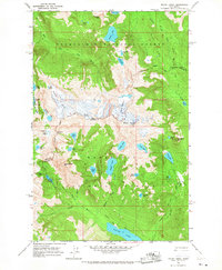
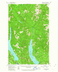
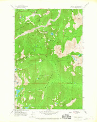
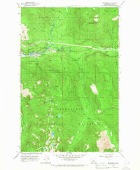
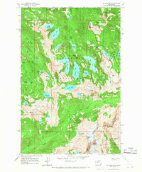
1965 Map of Mount Daniel
USGS Topo · Published 1967About this map
Mount Daniel and the high glaciers of the Central Cascades dominate this mid-century survey, which documents the boundary between the Snoqualmie National Forest and Wenatchee National Forest. The landscape is defined by its dramatic ice-cut topography, featuring the Lynch Glacier and Hinman Glacier above a network of alpine basins. The Cascade Crest Trail (Pacific Crest Trail) traverses the eastern portion of the map, providing a vital north-south artery through the high country. To the west, Dutch Miller Gap and La Bohn Gap represent historical passage points for early exploration. Numerous remote water bodies, including the deep-set Spade Lake, Waptus Lake, and the aptly named Terrace Lakes, are mapped alongside small mining Prospects located near the Chain Lakes.
Find a feature on this map
49 named features on this map. Tap any name to fly to it.
Don’t see what you’re looking for? This feature index may not catch every label — zoom into the map to look around manually.
Map Details
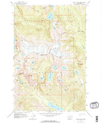
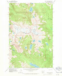
Editions of this 1965 Mount Daniel Map
3 editions found
Other maps of this area

1901 · Snoqualmie Pass
USGS Topo · 1:125,000

1902 · Skykomish
USGS Topo · 1:125,000

1903 · Snoqualmie
USGS Topo · 1:125,000

1905 · Skykomish
USGS Topo · 1:125,000

1957 · Wenatchee
USGS Topo · 1:250,000
1961 · Snoqualmie Pass
USGS Topo · 1:62,500
1961 · Kachess Lake
USGS Topo · 1:62,500
1965 · Stevens Pass
USGS Topo · 1:24,000
1965 · Skykomish
USGS Topo · 1:24,000
1965 · Big Snow Mtn
USGS Topo · 1:24,000