
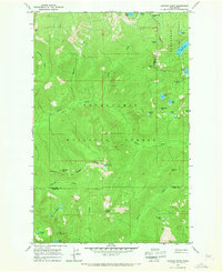
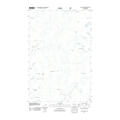
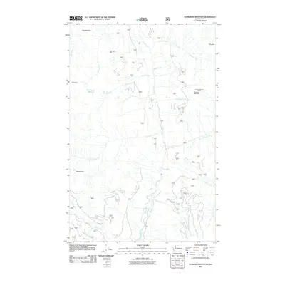
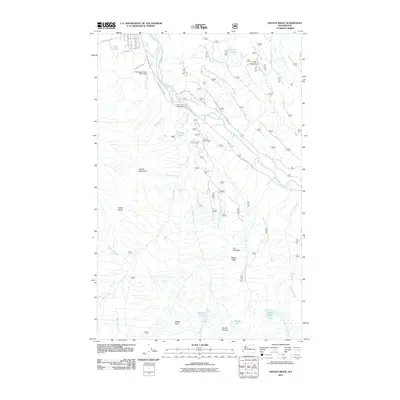
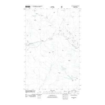
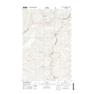
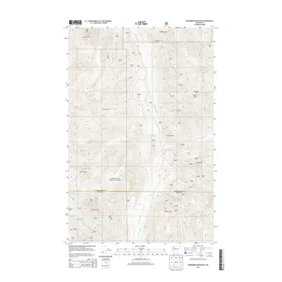
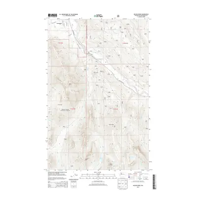
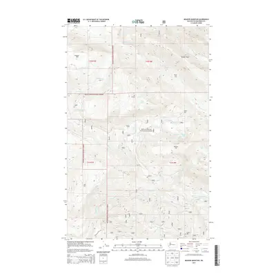
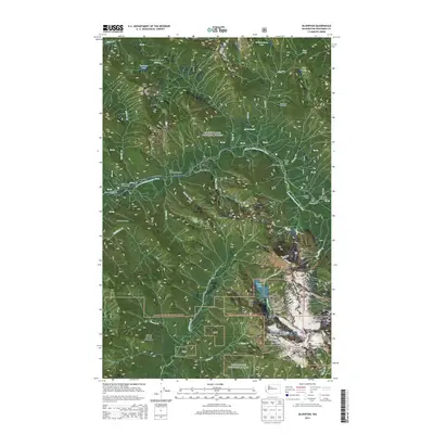
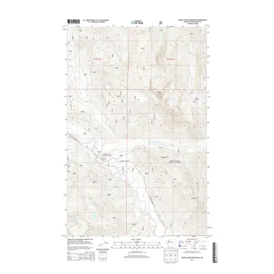
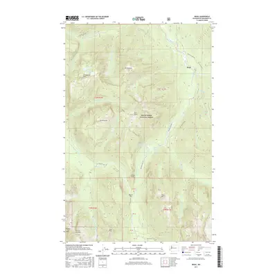
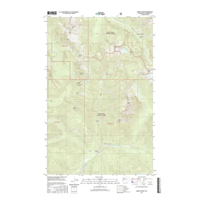
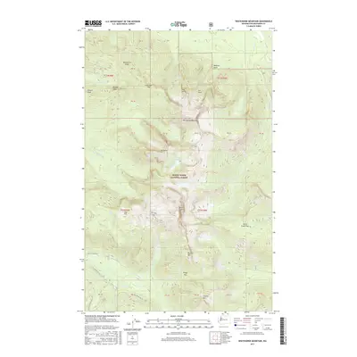
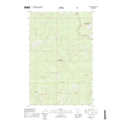
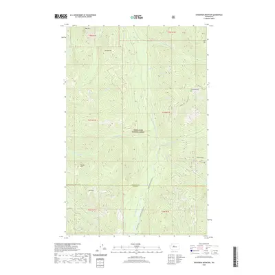
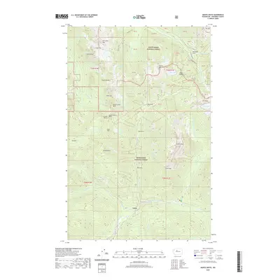
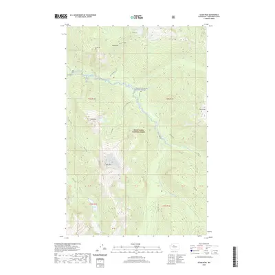
1965 Map of Captain Point
USGS Topo · Published 1982About this map
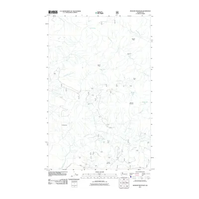
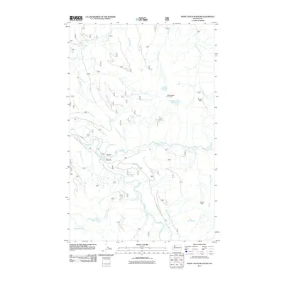
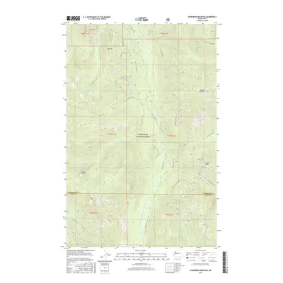
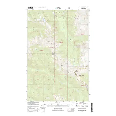
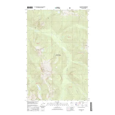
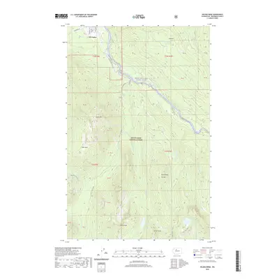
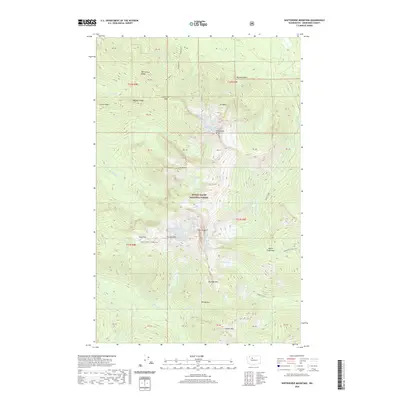
Cascade Crest Trail winds along the high ridges of the Cascades in this 1965 survey, marking the intersection of the Snohomish, Chelan, and King county lines. The landscape is defined by the headwaters of the Rapid River, which is fed by numerous alpine lakes such as Grizzly Lake, Heather Lake, and Margaret Lake. Historically, this area served as a critical crossing point for early high-country travel, indicated by the network of pack routes including the Meadow Creek Trail and Evergreen Creek Trail.
Find a feature on this map
44 named features on this map. Tap any name to fly to it.
Don’t see what you’re looking for? This feature index may not catch every label — zoom into the map to look around manually.
Map Details
Editions of this 1965 Captain Point Map
2 editions found
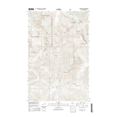
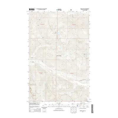
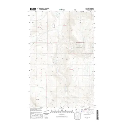
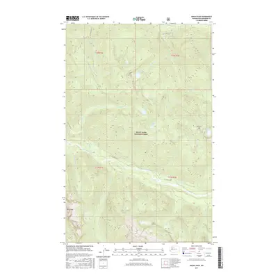
Historical Maps of King County Through Time
176 maps found

1899 Glacier Peak
Snohomish County, WA

1899 Stillaguamish
Snohomish County, WA

1901 Glacier Peak
Snohomish County, WA

1901 Stillaguamish
Snohomish County, WA

1911 Mt Vernon
Snohomish County, WA

1950 Glacier Peak
Snohomish County, WA

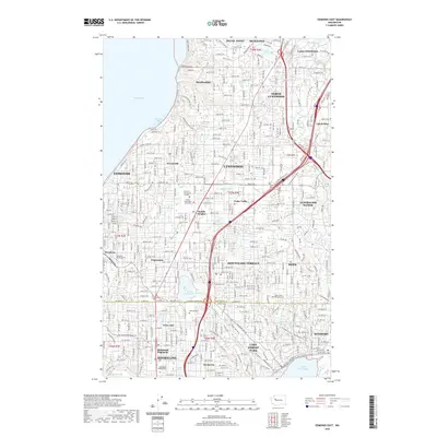
1953 Edmonds East
Snohomish County, WA

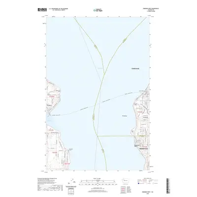
1953 Edmonds West
Snohomish County, WA

1956 Arlington East
Snohomish County, WA

1956 Arlington West
Snohomish County, WA

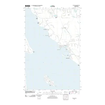
1956 Tulalip
Snohomish County, WA

1957 Silverton
Snohomish County, WA

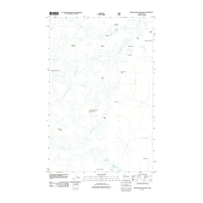
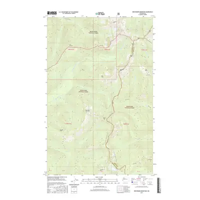
1965 Bench Mark Mtn
Snohomish County, WA

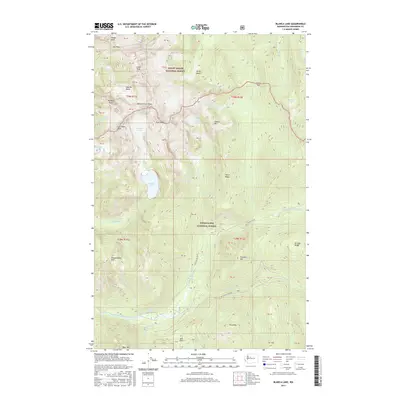
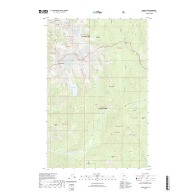
1965 Blanca Lake
Snohomish County, WA
1965 Captain Point
Snohomish County, WA

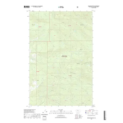
1965 Evergreen Mtn
Snohomish County, WA

1965 Monte Cristo
Snohomish County, WA

1966 Bedal
Snohomish County, WA

1966 Pugh Mountain
Snohomish County, WA

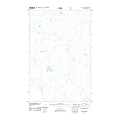
1966 Sloan Peak
Snohomish County, WA

1966 White Chuck Mtn.
Snohomish County, WA

1988 Gamma Peak
Snohomish County, WA

1988 Glacier Peak East
Snohomish County, WA

1988 Glacier Peak West
Snohomish County, WA

1988 Lime Mountain
Snohomish County, WA

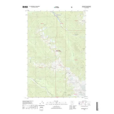
1989 Helena Ridge
Snohomish County, WA

1989 Lake Chaplain
Snohomish County, WA

1989 Mallardy Ridge
Snohomish County, WA

1989 Meadow Mountain
Snohomish County, WA

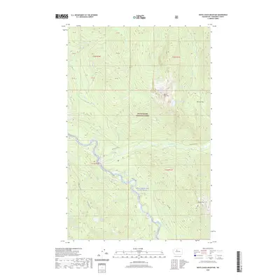
1989 Mount Stickney
Snohomish County, WA

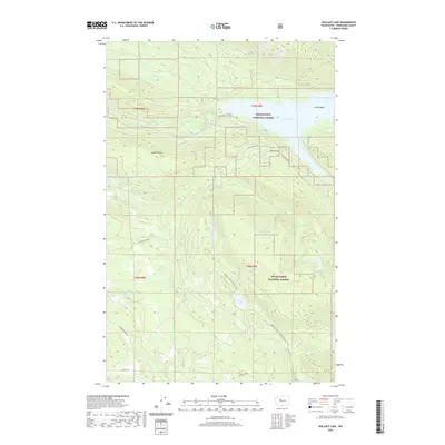
1989 Riley Lake
Snohomish County, WA

1989 Silverton
Snohomish County, WA

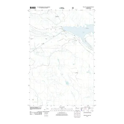
1989 Wallace Lake
Snohomish County, WA

1989 Whitehorse Mtn.
Snohomish County, WA

1997 Edmonds West
Snohomish County, WA

1999 Gamma Peak
Snohomish County, WA

1999 Glacier Peak East
Snohomish County, WA

1999 Glacier Peak West
Snohomish County, WA

1999 Lime Mountain
Snohomish County, WA

1999 Mount Pugh
Snohomish County, WA

1999 Sloan Peak
Snohomish County, WA
2011 Arlington East
Snohomish County, WA
2011 Arlington West
Snohomish County, WA
2011 Bedal
Snohomish County, WA
2011 Benchmark Mountain
Snohomish County, WA

2011 Blanca Lake
Snohomish County, WA
2011 Captain Point
Snohomish County, WA
2011 Edmonds East
Snohomish County, WA
2011 Edmonds West
Snohomish County, WA
2011 Evergreen Mountain
Snohomish County, WA
2011 Gamma Peak
Snohomish County, WA
2011 Glacier Peak East
Snohomish County, WA
2011 Glacier Peak West
Snohomish County, WA
2011 Helena Ridge
Snohomish County, WA
2011 Lake Chaplain
Snohomish County, WA
2011 Lime Mountain
Snohomish County, WA
2011 Mallardy Ridge
Snohomish County, WA
2011 Meadow Mountain
Snohomish County, WA
2011 Monte Cristo
Snohomish County, WA

2011 Mount Pugh
Snohomish County, WA
2011 Mount Stickney
Snohomish County, WA
2011 Riley Lake
Snohomish County, WA
2011 Silverton
Snohomish County, WA
2011 Sloan Peak
Snohomish County, WA
2011 Tulalip
Snohomish County, WA
2011 Wallace Lake
Snohomish County, WA
2011 White Chuck Mountain
Snohomish County, WA
2011 Whitehorse Mountain
Snohomish County, WA

2014 Arlington East
Snohomish County, WA
2014 Arlington West
Snohomish County, WA
2014 Bedal
Snohomish County, WA
2014 Benchmark Mountain
Snohomish County, WA
2014 Blanca Lake
Snohomish County, WA
2014 Captain Point
Snohomish County, WA
2014 Edmonds East
Snohomish County, WA

2014 Edmonds West
Snohomish County, WA
2014 Evergreen Mountain
Snohomish County, WA
2014 Gamma Peak
Snohomish County, WA
2014 Glacier Peak East
Snohomish County, WA
2014 Glacier Peak West
Snohomish County, WA
2014 Helena Ridge
Snohomish County, WA
2014 Lake Chaplain
Snohomish County, WA
2014 Lime Mountain
Snohomish County, WA
2014 Mallardy Ridge
Snohomish County, WA
2014 Meadow Mountain
Snohomish County, WA
2014 Monte Cristo
Snohomish County, WA
2014 Mount Pugh
Snohomish County, WA

2014 Mount Stickney
Snohomish County, WA
2014 Riley Lake
Snohomish County, WA
2014 Silverton
Snohomish County, WA
2014 Sloan Peak
Snohomish County, WA
2014 Tulalip
Snohomish County, WA
2014 Wallace Lake
Snohomish County, WA
2014 White Chuck Mountain
Snohomish County, WA
2014 Whitehorse Mountain
Snohomish County, WA
2017 Arlington East
Snohomish County, WA
2017 Arlington West
Snohomish County, WA
2017 Bedal
Snohomish County, WA
2017 Benchmark Mountain
Snohomish County, WA
2017 Blanca Lake
Snohomish County, WA
2017 Captain Point
Snohomish County, WA
2017 Edmonds East
Snohomish County, WA

2017 Edmonds West
Snohomish County, WA
2017 Evergreen Mountain
Snohomish County, WA
2017 Gamma Peak
Snohomish County, WA
2017 Glacier Peak East
Snohomish County, WA
2017 Glacier Peak West
Snohomish County, WA

2017 Helena Ridge
Snohomish County, WA

2017 Lake Chaplain
Snohomish County, WA
2017 Lime Mountain
Snohomish County, WA
2017 Mallardy Ridge
Snohomish County, WA
2017 Meadow Mountain
Snohomish County, WA
2017 Monte Cristo
Snohomish County, WA
2017 Mount Pugh
Snohomish County, WA

2017 Mount Stickney
Snohomish County, WA
2017 Riley Lake
Snohomish County, WA
2017 Silverton
Snohomish County, WA
2017 Sloan Peak
Snohomish County, WA
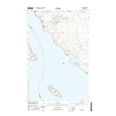
2017 Tulalip
Snohomish County, WA
2017 Wallace Lake
Snohomish County, WA
2017 White Chuck Mountain
Snohomish County, WA
2017 Whitehorse Mountain
Snohomish County, WA
2020 Arlington East
Snohomish County, WA
2020 Arlington West
Snohomish County, WA
2020 Bedal
Snohomish County, WA

2020 Benchmark Mountain
Snohomish County, WA
2020 Blanca Lake
Snohomish County, WA
2020 Captain Point
Snohomish County, WA
2020 Edmonds East
Snohomish County, WA
2020 Edmonds West
Snohomish County, WA
2020 Evergreen Mountain
Snohomish County, WA
2020 Gamma Peak
Snohomish County, WA
2020 Glacier Peak East
Snohomish County, WA
2020 Glacier Peak West
Snohomish County, WA
2020 Helena Ridge
Snohomish County, WA

2020 Lake Chaplain
Snohomish County, WA
2020 Lime Mountain
Snohomish County, WA
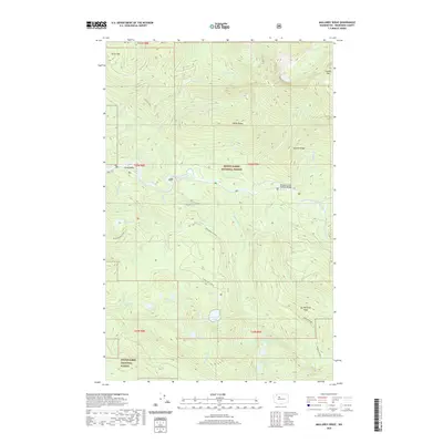
2020 Mallardy Ridge
Snohomish County, WA
2020 Meadow Mountain
Snohomish County, WA
2020 Monte Cristo
Snohomish County, WA

2020 Mount Pugh
Snohomish County, WA
2020 Mount Stickney
Snohomish County, WA
2020 Riley Lake
Snohomish County, WA
2020 Silverton
Snohomish County, WA
2020 Sloan Peak
Snohomish County, WA
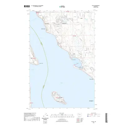
2020 Tulalip
Snohomish County, WA
2020 Wallace Lake
Snohomish County, WA
2020 White Chuck Mountain
Snohomish County, WA
2020 Whitehorse Mountain
Snohomish County, WA

2023 Arlington East
Snohomish County, WA

2023 Arlington West
Snohomish County, WA

2023 Bedal
Snohomish County, WA

2023 Benchmark Mountain
Snohomish County, WA

2023 Blanca Lake
Snohomish County, WA

2023 Captain Point
Snohomish County, WA

2023 Edmonds East
Snohomish County, WA

2023 Edmonds West
Snohomish County, WA

2023 Evergreen Mountain
Snohomish County, WA

2023 Gamma Peak
Snohomish County, WA

2023 Glacier Peak East
Snohomish County, WA

2023 Glacier Peak West
Snohomish County, WA

2023 Helena Ridge
Snohomish County, WA

2023 Lake Chaplain
Snohomish County, WA

2023 Lime Mountain
Snohomish County, WA

2023 Mallardy Ridge
Snohomish County, WA

2023 Meadow Mountain
Snohomish County, WA

2023 Monte Cristo
Snohomish County, WA

2023 Mount Pugh
Snohomish County, WA

2023 Mount Stickney
Snohomish County, WA

2023 Riley Lake
Snohomish County, WA

2023 Silverton
Snohomish County, WA

2023 Sloan Peak
Snohomish County, WA

2023 Tulalip
Snohomish County, WA

2023 Wallace Lake
Snohomish County, WA

2023 White Chuck Mountain
Snohomish County, WA

2023 Whitehorse Mountain
Snohomish County, WA