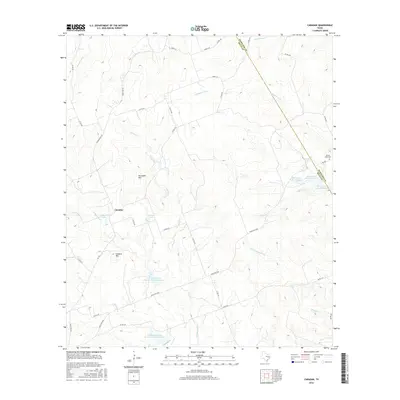
2016 Map of Caradan
USGS Topo · Published 2016About this map
Caradan sits in a high-plains landscape defined by its network of creeks and watershed management sites along the border of Mills and Hamilton Counties. The drainage systems of the Lampasas River and the S Lampasas River dominate the eastern half of the area, while the western portion is marked by the distinct elevations of Lookout Mtn and Huckabee Hill. This modern survey illustrates the importance of water management in the region, featuring several man-made structures such as Stillwell Lake, Parker Lake, and the Soil Conservation Service Site 3 Reservoir.
Find a feature on this map
47 named features on this map. Tap any name to fly to it.
Don’t see what you’re looking for? This feature index may not catch every label — zoom into the map to look around manually.
Map Details
Editions of this 2016 Caradan Map
This is the sole edition of this map. No revisions or reprints were ever made.
Other maps of this area

1885 · San Saba
USGS Topo · 1:125,000

1887 · Lampasas
USGS Topo · 1:125,000

1888 · Hamilton
USGS Topo · 1:125,000

1889 · Brownwood
USGS Topo · 1:125,000

1894 · Hamilton
USGS Topo · 1:125,000

1894 · Lampasas
USGS Topo · 1:125,000

1894 · Brownwood
USGS Topo · 1:125,000

1894 · San Saba
USGS Topo · 1:125,000

1928 · Goldthwaite
USGS Topo · 1:62,500

1931 · Mullin
USGS Topo · 1:62,500