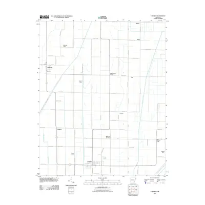
2011 Map of Caraway
USGS Topo · Published 2011About this map
Caraway serves as a primary hub within this agricultural landscape of eastern Arkansas, defined by a rigorous grid of drainage canals and country roads. The town's layout is centered near the Caraway Cemetery, while smaller crossroads settlements like Hancock Junction and Cottonwood Corner dot the surrounding farmland. The terrain is notably characterized by subtle elevations such as Black Oak Ridge, Coopers Ridge, and Milligan Ridge, which provide slight relief against the engineered drainage network.
Find a feature on this map
76 named features on this map. Tap any name to fly to it.
Don’t see what you’re looking for? This feature index may not catch every label — zoom into the map to look around manually.
Map Details
Editions of this 2011 Caraway Map
This is the sole edition of this map. No revisions or reprints were ever made.
Other maps of this area

1939 · Evadale
USGS Topo · 1:62,500

1941 · Leachville
USGS Topo · 1:62,500

1941 · Manila
USGS Topo · 1:62,500

1941 · Marked Tree
USGS Topo · 1:62,500

1953 · Memphis
USGS Topo · 1:250,000

1956 · Leachville
USGS Topo · 1:62,500

1956 · Manila
USGS Topo · 1:62,500

1956 · Evadale
USGS Topo · 1:62,500

1956 · Marked Tree
USGS Topo · 1:62,500

1956 · Memphis
USGS Topo · 1:250,000