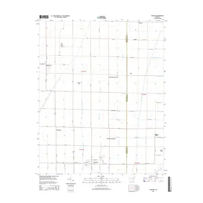
2014 Map of Caraway
USGS Topo · Published 2014About this map
Caraway and Black Oak anchor this landscape along the Craighead and Mississippi County line, where the terrain is defined by a dense network of drainage channels essential to the region's agricultural productivity. Named ridges, including Black Oak Ridge, Coopers Ridge, and Milligan Ridge, rise slightly above the surrounding flats, providing focal points for local settlements like Cottonwood Corner and Hancock. The map reveals a highly structured grid of county roads and drainage ditches, such as Honey Cypress Ditch Number 4 and Buffalo Creek Ditch, which dictate the movement of water and people across the low-lying plains. Genealogists may find value in the location of Caraway Cemetery and the various named junctions like Hancock Junction and Mangrum that served as community hubs during this era of rural development.
Find a feature on this map
91 named features on this map. Tap any name to fly to it.
Don’t see what you’re looking for? This feature index may not catch every label — zoom into the map to look around manually.
Map Details
Editions of this 2014 Caraway Map
This is the sole edition of this map. No revisions or reprints were ever made.
Other maps of this area

1939 · Evadale
USGS Topo · 1:62,500

1941 · Leachville
USGS Topo · 1:62,500

1941 · Manila
USGS Topo · 1:62,500

1941 · Marked Tree
USGS Topo · 1:62,500

1953 · Memphis
USGS Topo · 1:250,000

1956 · Leachville
USGS Topo · 1:62,500

1956 · Manila
USGS Topo · 1:62,500

1956 · Evadale
USGS Topo · 1:62,500

1956 · Marked Tree
USGS Topo · 1:62,500

1956 · Memphis
USGS Topo · 1:250,000