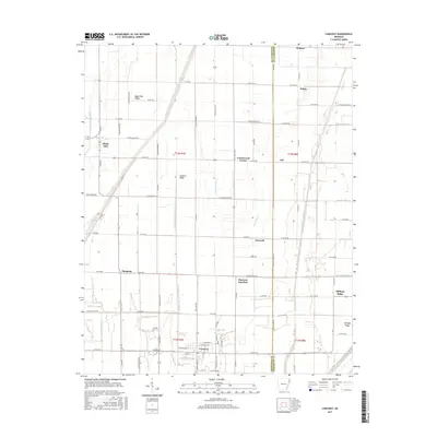
2017 Map of Caraway
USGS Topo · Published 2017About this map
Caraway serves as a primary hub in this corner of the Arkansas Delta, where the geometry of the landscape is dictated by an extensive network of drainage infrastructure. Settled along the Craighead Co Mississippi Co line, the area features a series of engineered waterways such as Honey Cypress Ditch Number 4 and Buffalo Creek Ditch that transformed the low-lying terrain into productive agricultural land. These ditches flank slightly elevated landforms including Black Oak Ridge, Coopers Ridge, and Milligan Ridge, which likely provided the early dry ground necessary for the development of small communities like Black Oak and Mangrum. Small rural junctions and settlements such as Cottonwood Corner, Hancock, and Vail are scattered across the township grid, illustrating the high density of small-scale farming and local commerce that defined this region in the early 21st century. Genealogists will find the location of the Caraway Cem particularly useful for tracing local family histories.
Find a feature on this map
65 named features on this map. Tap any name to fly to it.
Don’t see what you’re looking for? This feature index may not catch every label — zoom into the map to look around manually.
Map Details
Editions of this 2017 Caraway Map
This is the sole edition of this map. No revisions or reprints were ever made.
Other maps of this area

1939 · Evadale
USGS Topo · 1:62,500

1941 · Leachville
USGS Topo · 1:62,500

1941 · Manila
USGS Topo · 1:62,500

1941 · Marked Tree
USGS Topo · 1:62,500

1953 · Memphis
USGS Topo · 1:250,000

1956 · Leachville
USGS Topo · 1:62,500

1956 · Manila
USGS Topo · 1:62,500

1956 · Evadale
USGS Topo · 1:62,500

1956 · Marked Tree
USGS Topo · 1:62,500

1956 · Memphis
USGS Topo · 1:250,000