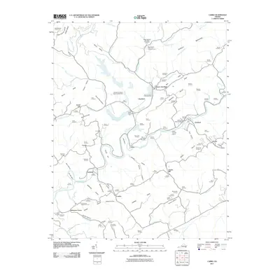
2011 Map of Carbo
USGS Topo · Published 2011About this map
Industrial infrastructure and deep Appalachian valleys define this portion of Russell County, where the coal economy is physically etched into the landscape. Significant operations like the Moss Number 2 Mine and Preparation Plant and the Moss Number 3 Preparation Plant dominate the northern terrain, supported by heavy engineering such as the Moss Number Two Mine Pond Dam and the Middle Fork Slurry Impoundment Dam. These industrial sites contrast with the traditional river settlements of Cleveland and Carbo along the winding Clinch River.
Find a feature on this map
103 named features on this map. Tap any name to fly to it.
Don’t see what you’re looking for? This feature index may not catch every label — zoom into the map to look around manually.
Map Details
Editions of this 2011 Carbo Map
This is the sole edition of this map. No revisions or reprints were ever made.
Other maps of this area

1886 · Grundy
USGS Topo · 1:125,000

1890 · Grundy
USGS Topo · 1:125,000

1892 · Grundy
USGS Topo · 1:125,000

1897 · Bristol
USGS Topo · 1:125,000

1902 · Bristol
USGS Topo · 1:125,000

1913 · Clintwood
USGS Topo · 1:62,500

1914 · Bucu
USGS Topo · 1:48,000

1915 · Clintwood
USGS Topo · 1:62,500

1916 · Bucu
USGS Topo · 1:62,500

1918 · Carterton
USGS Topo · 1:62,500