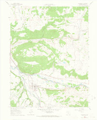
1961 Map of Carbondale
USGS Topo · Published 1966About this map
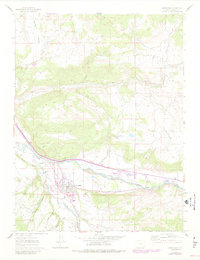
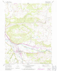
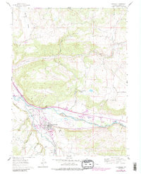
Carbondale serves as the focal point of this 1961 survey, situated at the confluence where the Crystal River joins the Roaring Fork River. The landscape is defined by its complex irrigation network, necessary for high-altitude agriculture, featuring the Holland Ditch, Rockford Ditch, and East Mesa Ditch. Transport and industry are marked by the Denver and Rio Grande Western railroad tracks and local infrastructure like the Landing Strip and Fish Hatchery. For genealogists, the map preserves the locations of several burial grounds, including Weaver Cem, Carbondale Cem, and Fisher Cem. Small settlements and named locales such as Satank, Catherine, and Kiggin provide a look at the mid-century community layout of Garfield County. Landmarks like Red Hill and White Hill rise above the valley floor, while education is represented by the Rocky Mountain Sch.
Find a feature on this map
38 named features on this map. Tap any name to fly to it.
Don’t see what you’re looking for? This feature index may not catch every label — zoom into the map to look around manually.
Map Details
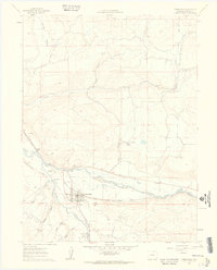
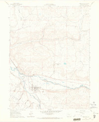
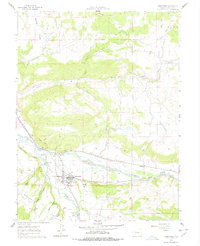
Editions of this 1961 Carbondale Map
8 editions found
Other maps of this area

1927 · Glenwood Springs
USGS Topo · 1:125,000

1930 · Glenwood Springs
USGS Topo · 1:125,000

1957 · Leadville
USGS Topo · 1:250,000

1959 · Leadville
USGS Topo · 1:250,000

1960 · Leadville
USGS Topo · 1:250,000

1961 · Mount Sopris
USGS Topo · 1:24,000

1961 · Cattle Creek
USGS Topo · 1:24,000

1961 · Carbondale
USGS Topo · 1:24,000

1961 · Leon
USGS Topo · 1:24,000

1961 · Basalt
USGS Topo · 1:24,000