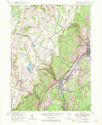
1946 Map of Carbondale
USGS Topo · Published 1971About this map
The Lackawanna River corridor defines the industrial and residential heart of this region, where the Delaware and Hudson railroad facilitates the movement of goods through Carbondale, Mayfield, and Jermyn. This mid-century survey, updated with 1969 revisions, captures a landscape where industry meets the rising terrain of the Coal Region. Higher elevations are marked by the Scott Fire Tower and rural outposts like Finch Hill and Tompkinsville.
Find a feature on this map
64 named features on this map. Tap any name to fly to it.
Don’t see what you’re looking for? This feature index may not catch every label — zoom into the map to look around manually.
Map Details
Editions of this 1946 Carbondale Map

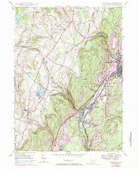
Other maps of this area

1889 · Scranton
USGS Topo · 1:62,500

1891 · Scranton
USGS Topo · 1:62,500

1892 · Honesdale
USGS Topo · 1:62,500

1892 · Dundaff
USGS Topo · 1:62,500

1893 · Scranton
USGS Topo · 1:62,500

1928 · Ariel
USGS Topo · 1:62,500

1932 · Ariel
USGS Topo · 1:62,500

1943 · Scranton
USGS Topo · 1:125,000

1943 · Honesdale
USGS Topo · 1:125,000

1946 · Dalton
USGS Topo · 1:24,000