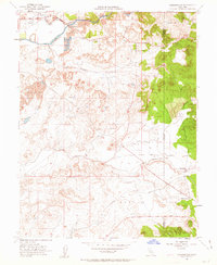
1953 Map of Carbondale
USGS Topo · Published 1963About this map
The Cosumnes River corridor in the early 1950s reveals a landscape heavily modified by industrial extraction, notably defined by extensive Dredge Tailings that follow the river's path through the northern reaches. This topographic record identifies small rural centers and waypoints such as Bridge House, Live Oak, and Carbondale, situated along the border of Sacramento and Amador counties. The transportation network of the era is anchored by the Southern Pacific railroad and the historical Jackson Road, which facilitated movement across the low hills.
Find a feature on this map
20 named features on this map. Tap any name to fly to it.
Don’t see what you’re looking for? This feature index may not catch every label — zoom into the map to look around manually.
Map Details
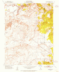
Editions of this 1953 Carbondale Map
2 editions found
Other maps of this area

1889 · Jackson
USGS Topo · 1:125,000

1891 · Sacramento
USGS Topo · 1:125,000

1891 · Placerville
USGS Topo · 1:125,000

1892 · Jackson
USGS Topo · 1:125,000

1892 · Sacramento
USGS Topo · 1:125,000

1892 · Placerville
USGS Topo · 1:125,000

1893 · Placerville
USGS Topo · 1:125,000

1893 · Sacramento
USGS Topo · 1:125,000

1894 · Lodi
USGS Topo · 1:125,000

1897 · Jackson
USGS Topo · 1:125,000