
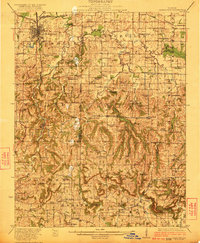
1922 Map of Carbondale
USGS Topo · Published 1922About this map
Carbondale serves as the regional anchor in this early 1920s survey, showing the city's early street grid and its critical position along the Illinois Central railroad. The landscape to the south transitions into the broken terrain of the Shawnee Hills, where the rail line winds through the narrow valleys of Drury Creek to reach Makanda and Cobden. This era is defined by a dense network of one-room schoolhouses and country churches that supported a rural society before the consolidation of the mid-20th century.
Find a feature on this map
91 named features on this map. Tap any name to fly to it.
Don’t see what you’re looking for? This feature index may not catch every label — zoom into the map to look around manually.
Map Details
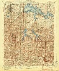
Editions of this 1922 Carbondale Map
3 editions found
Other maps of this area

1909 · West Frankfort
USGS Topo · 1:62,500

1910 · Herrin
USGS Topo · 1:62,500

1910 · Murphysboro
USGS Topo · 1:62,500

1918 · Vienna
USGS Topo · 1:62,500

1919 · Vienna
USGS Topo · 1:62,500

1920 · Jonesboro
USGS Topo · 1:62,500

1920 · Dongola
USGS Topo · 1:62,500

1923 · Dongola
USGS Topo · 1:62,500

1923 · Jonesboro
USGS Topo · 1:62,500

1924 · Alto Pass
USGS Topo · 1:62,500