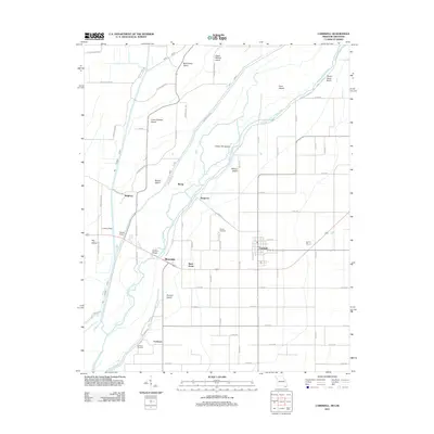
2011 Map of Cardwell
USGS Topo · Published 2011About this map
The Saint Francis River carves a winding path through this corner of the Missouri Bootheel, defining a landscape of low-lying islands and managed drainage. The settlement of Cardwell serves as the primary hub, surrounded by smaller communities and named locales such as Riverside, Buck Donic, and Cockrum. This 2011 survey illustrates a highly engineered agricultural environment where numerous man-made channels like Mayo Ditch and Gate DITCH supplement the natural river system.
Find a feature on this map
65 named features on this map. Tap any name to fly to it.
Don’t see what you’re looking for? This feature index may not catch every label — zoom into the map to look around manually.
Map Details
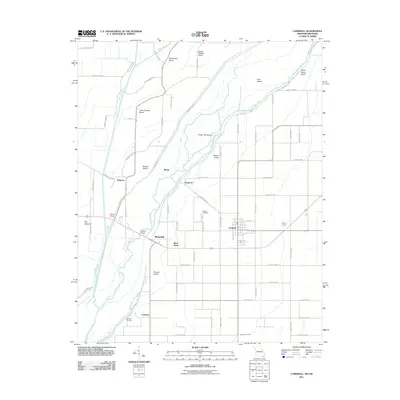
Editions of this 2011 Cardwell Map
2 editions found
Other maps of this area

1934 · Kennett
USGS Topo · 1:62,500

1940 · Marmaduke
USGS Topo · 1:62,500

1940 · Kennett
USGS Topo · 1:62,500

1941 · Leachville
USGS Topo · 1:62,500

1941 · Manila
USGS Topo · 1:62,500

1953 · Memphis
USGS Topo · 1:250,000

1956 · Leachville
USGS Topo · 1:62,500

1956 · Kennett
USGS Topo · 1:62,500

1956 · Manila
USGS Topo · 1:62,500

1956 · Memphis
USGS Topo · 1:250,000